



The 20 Years That Lost the Sextant
New ways of doing things tend to insinuate themselves into an industry’ s consciousness until one day you get out of bed and realise that everything has changed. For centuries the sextant was the most important navigation tool after the chart and compass. Suddenly today it is hard to find one, let alone someone who can use it with any confidence.
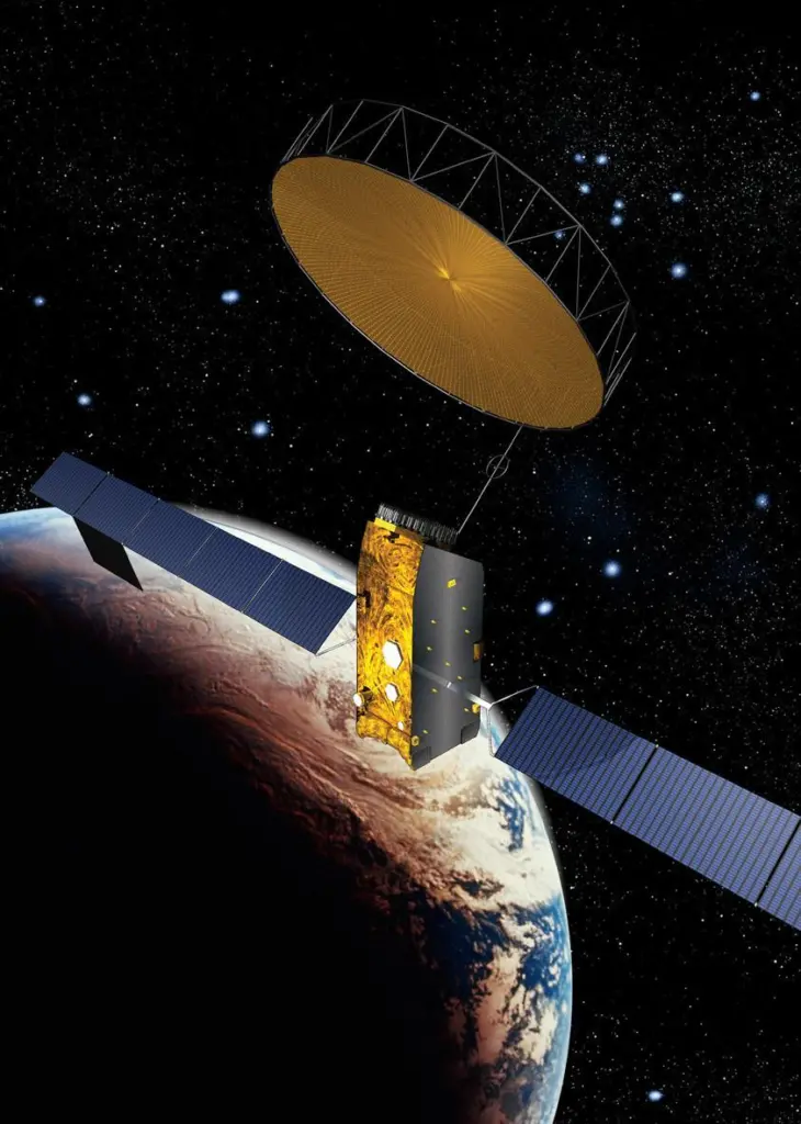
This is, of course, due to the arrival of GPS, the Global Positioning System. Twenty four satellites orbit our planet and transmit precisely timed signals to receivers twenty thousand kilometres below them. These receivers know exactly when each satellite is scheduled to transmit its signal and listen for three or more of them. By automatically measuring the differences in the signals’ arrival times and applying a bit of trigonometry the GPS receiver will tell you exactly where you are on the planet. It is hardly surprising, therefore, few people bother with sextants today.
Bradford Parkinson and Ivan Gettins, who invented GPS, launched heir first satellite in 1978. The constellation grew steadily, driven by the need to guide US missiles. Although the satellite constellation was not completed until June 1993, it was being used long before then.
Soon after the launch of Maritime Journal, GPS began to dominate marine navigation. Receivers became a standard bridge instrument and with the completion of the GPS constellation and its guaranteed reliability, many new tools became possible. The first electronic chart plotters appeared, showing a vessel’s location in relation to a crudely drawn screen map. These were quickly superseded by vector and raster chart systems that evolved into the Electronic Chart Display Information System (ECDIS) that is the pinnacle of electronic navigation today. In 1996 Broere Shipping of the Netherlands became the first company authorised to rely exclusively on ECDIS and dispense with paper charts altogether.
This growth meant that the Decca Navigator system, which had provided trusted electronic navigation for thousands of ships since the Second World War, lost the battle against GPS in March 2001. The last Decca chain, which was in Japan, was then shut down, leaving Loran as the only terrestrial alternative to the US controlled navigation system.
Today GPS sits at the core of every important piece of bridge technology. This includes AIS, Voyage Data Recorders, Ship Security Alert Systems and Vessel Tracking Systems. It is also used for Digital Selective Calling (DSC) which links GPS with the developments in communications.
Inmarsat was created to provide the emergency links needed when GMDSS (Global Maritime Distress and Safety System) began in 1979. Communications grew and improved steadily from then on so by 1987 there were some 3,800 ships equipped with Inmarsat-A systems. As new technology has become available Inmarsat has steadily added services to its range. Mini-M, for example, was made possible in 1995 with the launch of Inmarsat’s first spot-beam equipped Inmarsat-3 satellites In 2002 the new generation of Inmarsat-4 satellites marked the introduction of the Fleet range of services. The Fleet Broadband service currently being introduced is now about as far removed from the original Inmarsat-A as it’s possible to get.
Despite the sales advantage that Inmarsat enjoys through GMDSS carriage requirements, other satellite services have also grown in the past 20 years that are proving attractive to non-SOLAS vessels. Iridium was launched in 2001 and has become the biggest alternative to Inmarsat with 66 satellites providing pole to pole coverage. Other services such as Globalstar, AceS and Thuraya, which was launched in 2000, also serve marine customers despite being primarily aimed at land based users. The growth of their ocean coverage and competitive pricing now makes them attractive to many ship operators.
Without new inventions, the next 20 years will witness the evolution of what exists today. Fleet Broadband will be the vanguard of a growing emphasis on data transmission which will be copied by other services. Russia will improve its GLONASS satellite positioning system and the EU funded Gallileo will eventually compete with GPS along with others from countries such as India and China. Receivers will use all systems simultaneously and ships will obtain positioning from perhaps 20 satellites to give undreamed of accuracy. This will provide the raw data needed by the proposed e-Navigation initiative that will see whole swathes of navigation and communication integrated electronically to ensure safer shipping.
Paul Eastaugh is a freelance journalist and public relations consultant specialising in the marine and offshore industries.