

Rabbit gets to Core of offshore positioning
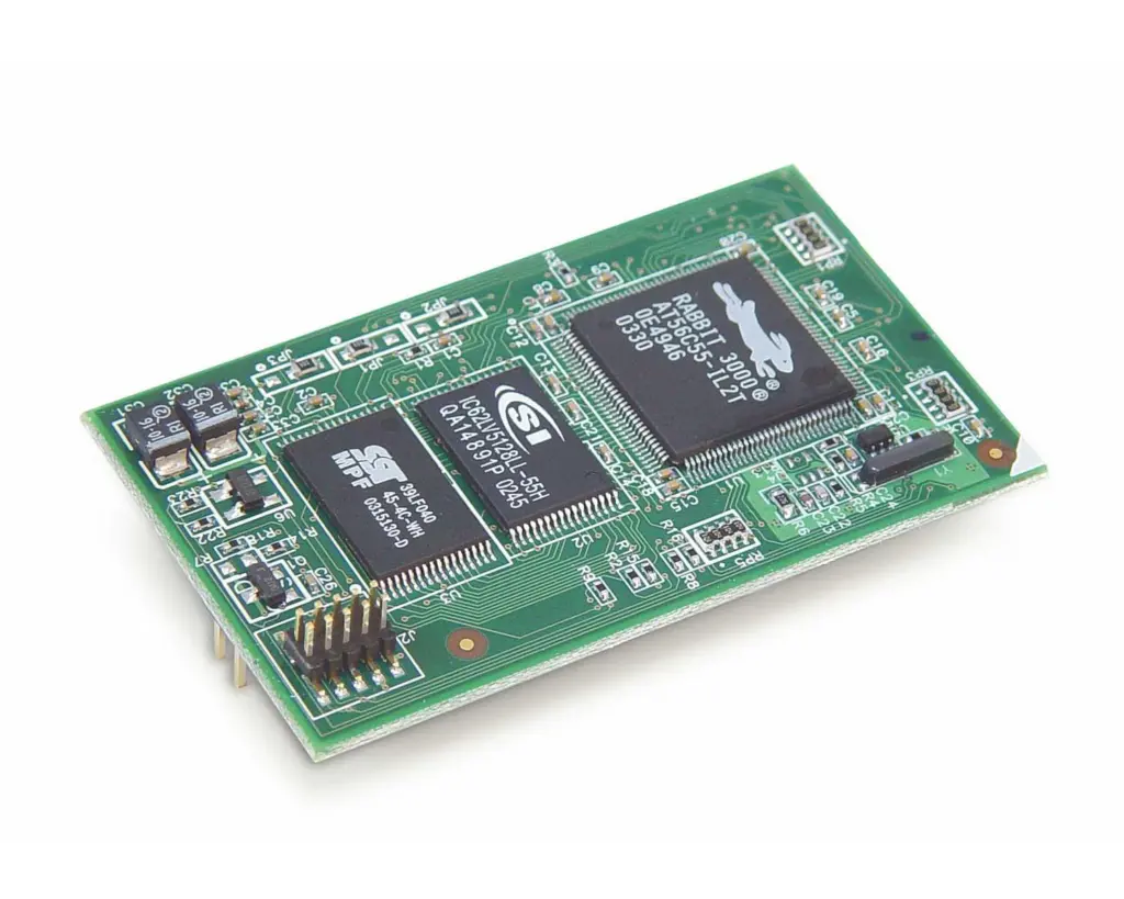
Geonav Marine Systems is to use the RCM3600 RabbitCore and PowerCore 3800 in their I-Compass solution for marine navigation.The company specialises in the development of marine electronics and offshore positioning systems.
‘We aimed to build a system that combined a GPS heading sensor with a fibre-optic rate gyro, explained Russell Morton of Geonav. ‘The object was to create a device with a performance close to the very expensive north seeking fibre-optic and ring laser devices, but at a price close to a good quality mechanical gyro.’
Geonav’s I-Compass system is comprised of different key components with RabbitCore modules as the main processing units. It uses four RCM3600 RabbitCores and one PowerCore 3800.
During a survey mission, the GPS heading sensor finds the true north position. The fibre optic gyroscope (FOG) provides system stability, accounting for sudden movements and directional changes.
The information is gathered by the RCM3600 modules and is transmitted to the PowerCore3800, which processes the data and sends compass information to the display. The processed data is also sent to another set of RCM3600 modules, providing four RS-232 or RS-422 system ports for connection to other navigational equipment.
The I-Compass system takes advantage of absolute heading values to convert a rate compass from a relative heading device to a true north heading sensor. It offers a higher level of stability than an autonomous GPS heading sensor and is also capable of performing at rates of turn up to 100 degrees per second without data interruption.
Morton added, ‘Because of the complexity of our system and the processing throughout required, it made sense to use multiple processors. The cost versus performance of the core modules made this architecture especially practical.’ The I-Compass is geared toward the offshore industries for positioning and construction work.
Subsequent versions of the product will be geared toward the dynamic marine positioning industry as an alternate heading sensor, and eventually to accommodate large marine vessels during low-speed manoeuvres such as docking.