![MaritimeJournal[Seawork]](https://www.maritimejournal.com/wp-content/uploads/2026/09/MaritimeJournalSeawork.svg)






Regional model of Pentland Firth commissioned
The Crown Estate has commissioned ABPmer to develop a regional wave and tidal model for the Pentland Firth and Orkney Waters strategic area.
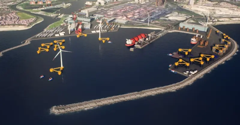
The model aims to develop a refined description of the marine energy resource as well as help to better understand the magnitude and extent of cumulative effects from multiple planned developments.
The outputs from the model will be used by The Crown Estate in their award winning MaRS planning tool and, in due course, the information compiled to drive the model will also be made available to support other industry applications.
Project director Bill Cooper said the regional scale characterisation of marine energy resources was “the logical next step to down-scale from the UK Atlas of Marine Renewable Energy.”
“Our present efforts have also compiled the most up to date description of the local seabed using a variety of publically available data sources to ensure best access to future end-users.”
The project is being advanced on a fast track programme with the main deliverables scheduled for the end of February 2012.
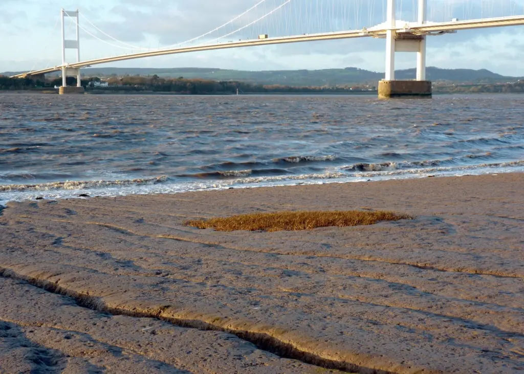
Working with Capita Symonds and URS, ABPmer has also been contracted by the Environment Agency in the UK to record the sediment properties in the intertidal zone of the Bristol Channel and Severn Estuary coastlines. The study, which will consider the coastline between Sharpness and Porlock Bay, is being undertaken to understand the variation in the bed characteristics in front of coastal defences to assist with their future management.
ABPmer’s in-house survey team will take surface and sub-surface sediment samples at 1km spacing near Mean High Water and across the intertidal area. The collected sediments will then be characterised through particle size analysis. The results will be subsequently available via the EA SANDS database.
The fieldwork required for the project is expected to take no more than six weeks and comprises a number of phases to take account of tidal conditions relative to daylight hours. The programme has been worked out with flexibility in mind to take account of the potential for inclement weather. The final report is due at the end of March 2012.