![MaritimeJournal[Seawork]](https://www.maritimejournal.com/wp-content/uploads/2026/09/MaritimeJournalSeawork.svg)




Autonomous charting
The very first use of an Autonomous Surface Vehicle (ASV) to conduct bathymetry for updating US charts on behalf of the National Oceanic & Atmospheric Administration (NOAA) has been completed this summer in the Alaskan Arctic, reports the geospatial company TerraSond in Houston.
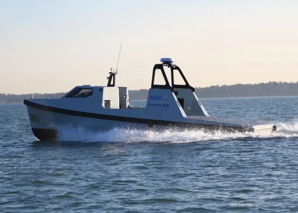
Surveying alongside a TerraSond mother vessel, the ASV collected data simultaneously on adjacent survey lines, effectively doubling operational production rates. Moreover, it also surveyed by itself in areas too shallow and dangerous for its companion vessel to work in a series of operations which will doubtless be of considerable interest to other hydrographic organisations and users.
The ASV is one of a number of unmanned marine vehicles produced by a Louisiana company of the same name with European offices in Aberdeen and Portsmouth. Together with SeeByte and the Marine Biological Association it has recently been awarded funding to carry out phase two of the UK Adaptive Autonomous Ocean Sampling Network (AAOSN) project which aims to reduce the complexity and frequency of operator input when supervising large fleets of autonomous systems from shorelines.
By David Goodfellow

Related Articles
 OFFSHORE RENEWABLES
 OTHER NEWS
 MERGERS & ACQUISITIONS