![MaritimeJournal[Seawork]](https://www.maritimejournal.com/wp-content/uploads/2026/09/MaritimeJournalSeawork.svg)




Busting the myths surrounding GNSS interference
GNSS spoofing is no longer just a military concern. Ground Control CEO Alastair MacLeod explains why workboat operators should rethink how they verify vessel positions to maintain safe and reliable operations.

For operators of workboats, pilot boats, tugs, dredgers and offshore support vessels, knowing precisely where a vessel is can be just as important as knowing where it is going. Whether transferring technicians to an offshore wind farm, manoeuvring alongside infrastructure or maintaining position during dredging operations, safe and efficient working depends on trusted positioning data.
GNSS jamming and spoofing undermine that confidence. The greatest danger is not always losing a GPS signal altogether, but being presented with a convincing position that is subtly wrong. As interference becomes more widespread, operators across the workboat sector need to rethink how they verify where a vessel really is.
While publicly reported incidents involving individual workboats are relatively rare, organisations such as IMCA have warned that GNSS jamming and spoofing are now affecting offshore support vessel operations in multiple regions. For vessels conducting close-quarters manoeuvres, dynamic positioning or precision offshore work, trusted positioning is becoming an increasingly important operational issue.
According to the Royal Institute of Navigation’s 2026 Impacts of GNSS Interference on Maritime Safety report, 75% of respondents believed the situation was not improving. The report concluded that jamming, spoofing and other forms of interference now represent a serious safety, operational and security concern across the maritime sector.
At the same time, ports, harbour authorities, offshore operators and marine contractors are becoming increasingly dependent on positioning data. Navigation, fleet management, electronic reporting, security operations and regulatory compliance all rely on trusted location information. When GNSS integrity is compromised, the consequences can extend well beyond the bridge, affecting AIS, communications, timing systems and shore-based fleet monitoring simultaneously.
The 8 myths
This growing challenge is driving interest in Assured Positioning, Navigation and Timing (A-PNT) technologies, but several misconceptions continue to surround both the threat and the available solutions.
Myth 1: If the display shows a position, it must be correct
A dangerous assumption in modern navigation is that if GPS displays a position, that position must be accurate.
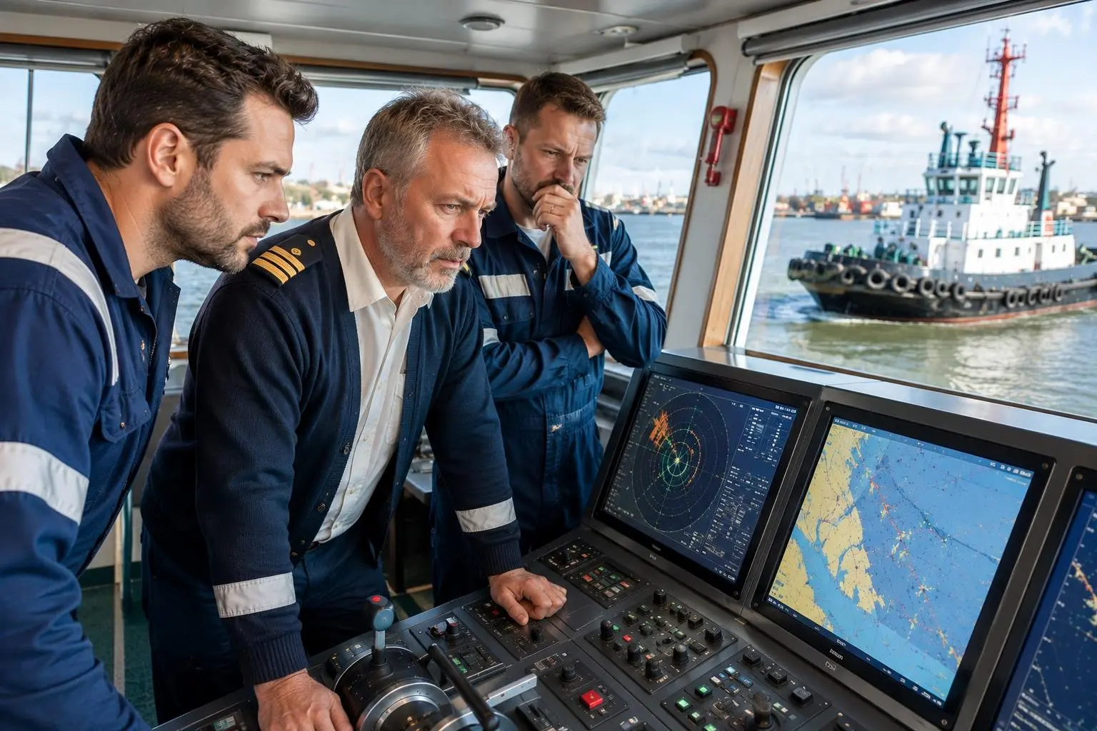
Most workboat operators are familiar with occasional GPS outages or degraded signals, but spoofing presents a different challenge. Unlike jamming, which often causes signal loss and triggers alarms, spoofing manipulates GNSS signals to convince a receiver that a vessel is somewhere it is not.
Navigation systems may continue to display what appears to be a perfectly valid position, complete with believable course, speed and track information.
In some cases, the false position drifts gradually away from reality, making it even harder to identify through normal operating procedures. A tug working close to a berth, a pilot boat approaching a vessel or a crew transfer vessel servicing an offshore wind farm could all be presented with a believable – but wrong – navigational picture while crews and shoreside operations remain unaware.
The challenge is no longer simply obtaining a position. It is having an independent means of verifying that the reported position is genuine.
Myth 2: GNSS interference only affects military operations
Jamming and spoofing were once associated mainly with military operations and conflict zones. That is no longer the case.
Commercial vessels operating in the Baltic, Black Sea, Eastern Mediterranean, Red Sea and Persian Gulf increasingly encounter GNSS disruption. What was once considered exceptional is becoming an operational risk.
For workboat operators, the implications extend beyond navigation. Offshore construction vessels, survey craft, dredgers and harbour authorities increasingly depend on digital positioning information for planning, reporting, asset management and operational decision-making.
As marine operations become more connected, compromised positioning data can affect an entire organisation rather than a single vessel.
Myth 3: Crews will always spot spoofing immediately
Many people assume GPS interference will be obvious to those on board.
That depends entirely on the type of interference.
Jamming is often relatively easy to recognise because receivers lose access to satellite signals. Position fixes disappear, alarms activate and systems indicate degraded performance.
Spoofing is much more subtle. Because receivers continue calculating what appears to be a valid position, there may be no immediate indication that anything is wrong.
This is one reason operators are beginning to look beyond navigation architectures that rely solely on GNSS. Masters and crews need an independent point of comparison that can reveal when an apparently reliable position should no longer be trusted.
Myth 4: GPS and A-PNT are the same thing
A-PNT is not simply another form of GPS. GPS and other GNSS constellations provide positioning, navigation and timing information, but their signals are extremely weak by the time they reach the Earth’s surface, making them susceptible to interference.
A-PNT technologies provide additional, independent sources of positioning, navigation or timing information together with methods of validating whether the reported position can be trusted.
One approach uses authenticated Low Earth Orbit satellite signals to provide an independent position. Because these satellites orbit much closer to Earth than traditional GNSS satellites, their signals are significantly stronger.
Iridium PNT also operates independently of conventional GNSS frequencies, providing a trusted reference against which GPS-derived positions can be compared.
Myth 5: A-PNT is a silver bullet
Modern marine operations have always relied on cross-checking multiple sources of information.
Experienced mariners do not depend entirely on one radar, one sensor or one chart reference, and positioning should be no different.
Radar, ECDIS, AIS, gyrocompasses, visual observations and GNSS all contribute to situational awareness. A-PNT simply adds another independent reference, helping crews validate navigation data and recognise possible GNSS anomalies before they become operational problems.
This is particularly valuable because shoreside fleet monitoring is not always independent. Fleet management systems frequently receive exactly the same GNSS-derived position being used on board. If that position has been spoofed, incorrect information may also be passed to AIS, tracking platforms and reporting systems.
Rather than replacing existing systems, A-PNT forms another layer of resilience alongside hardened GNSS equipment, interference monitoring, crew training and robust operating procedures.
Myth 6: Accuracy is all that matters
When evaluating positioning technologies, accuracy naturally receives most attention.
However, during a spoofing incident a GNSS receiver may continue reporting excellent accuracy while displaying an entirely incorrect position.
For workboats operating close to offshore structures, harbour infrastructure or other vessels, knowing whether a position can be trusted may be more important than achieving marginal improvements in accuracy.
An independent reference capable of identifying significant discrepancies allows crews and shore-based teams to investigate before operational decisions are based on false information.
Myth 7: Existing systems must be replaced

Improving positioning resilience does not necessarily require wholesale replacement of bridge equipment.
Many A-PNT solutions integrate with existing navigation systems using established maritime interfaces such as NMEA 0183 and NMEA 2000.
This allows operators to add an additional layer of resilience while continuing to use familiar onboard equipment and existing operational workflows.
Myth 8: GNSS only matters for navigation
GNSS supports far more than chart displays.
Positioning data underpins AIS transmissions, fleet monitoring, electronic reporting, geofencing, regulatory compliance, security operations and incident investigations.
For ports, marine contractors and offshore operators managing multiple vessels, compromised positioning data can quickly create an inaccurate operational picture across an entire fleet.
Rather than viewing A-PNT solely as protection against operating in recognised interference hotspots, operators should assess how dependent their wider business is on trusted positioning information and what the consequences would be if that trust were lost.
Building resilience for the workboat sector
GNSS interference is no longer an occasional technical problem confined to distant conflict zones. It is becoming an operational risk that affects ports, offshore energy, marine construction and workboat operations alike.
The solution is not to abandon existing navigation systems but to strengthen them with independent sources of positioning information that allow crews and shore-based operators to identify anomalies and maintain confidence when GNSS becomes unreliable.
As jamming and spoofing become more common, resilience will depend on more than knowing where a vessel appears to be. It will depend on being able to verify that position, recognise when information cannot be trusted and continue operating safely and efficiently when the primary signal is compromised.
For the workboat sector, that capability is rapidly becoming an essential part of modern marine operations.

Related Articles
 ACCESSORIES & EQUIPMENT
 OTHER NEWS
 EQUIPMENT