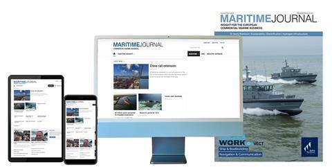
- Subscribe

Get full access to Maritime Journal content
Including the digital magazine, full news archive, podcasts, webinars and articles on innovations and current trends in the commercial marine industry.
- Expert analysis and comment
- Unlimited access to in-depth articles and premium content
- Full access to all our online archive
Alternatively REGISTER for website access and sign up for email alerts
- Special Reports
- Industry Database
- Events
Seawork
9th - 11th June 2026Speed@Seawork
8th June 2026Seawork Conferences


The 27th edition of Europe’s largest commercial marine and workboat exhibition provides businesses the opportunity to showcase their services, equipment, vessels and supplies to an international audience. Speed@Seawork on 8th June in Cowes offers a sector specific event that showcases fast vessels operating at high speed for security interventions and Search & Rescue. "Get Set for Workboat 2050", in partnership with Seawork, Maritime Journal and The Workboat Association, is a series of conferences which deal with decarbonisation and all aspects of improving OPEX efficiencies. Visit the Seawork Website Speed@Seawork on the Seawork Website View on Seawork
European shoreline changes mapped over decades
2021-03-19T10:35:00

The new EMODnet Geology shoreline-migration map allows policy makers or national and regional coastal managers to identify areas of rapid change.
This is premium content
Already a member? SIGN IN now

Register for a FREE one-month trial to continue this article
It only takes a minute to sign up for a free account, and you’ll get to enjoy:
- Weekly newsletters providing valuable news and information on the commercial marine sector
- Access to the Maritime Journal Industry Database
- Website access (3 standard news articles per month)
Get access and more free content sign up today
Does your organisation require more access? Upgrade to a subscription and enjoy unlimited news and additional features.
- Terms & Conditions
- Cookie Policy
- Privacy Policy
- © 2024 Maritime Journal
Site powered by Webvision Cloud


