![MaritimeJournal[Seawork]](https://www.maritimejournal.com/wp-content/uploads/2026/09/MaritimeJournalSeawork.svg)




Autonomous navigation positioning challenges
The top three positioning challenges in autonomous marine navigation include sub-meter accuracy in the presence of extreme multipath; interference: jamming and spoofing; and reliable heading information needed for vessel control.
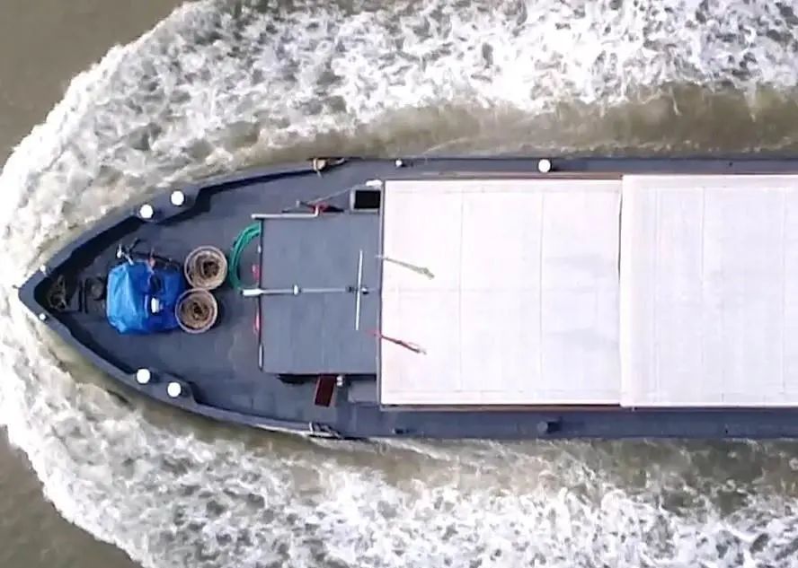
This is according to Septentrio, who said that narrow inland waterways, lock systems and harbours require navigation precision and the remote captain needs to know the exact position of the ship down to sub-meter level. Multipath errors are caused by GPS satellite signals being reflected off nearby structures, while lock walls block the line-of-sight from the ship to GPS satellites.
Septentrio stated: “RTK GNSS centimetre level positioning can be achieved by receiving signal corrections – commonly known as RTK corrections – from a local base station or via a cellular link. Other corrections such as SBAS or PPP provide sub-meter positioning and use corrections from geostationary satellites.”
It added: “Built-in multipath mitigation algorithms such as Septentrio’s APME+ can detect and minimise the effects of multipath errors.”
Threat to accuracy
Interference caused by jamming reduces position accuracy and can even cause a loss of GPS positioning in the radius of hundreds of meters around the interference source, while a spoofing device can potentially be used to disturb the trajectory of the ship and make it vulnerable to theft or even hijacking.
Interference mitigation algorithms such as Septentrio’s Advanced Interference Mitigation (AIM+) ensures reliable positioning by identify the interference frequency and blocking it out of their positional calculation, explained Septentrio. A graphical spectrum analyser also helps evaluate interference frequency and identify the interference source.
The company said that challenges for achieving reliable heading information include traditional magnetic compass solutions which are sensitive to large metal objects in the area and can be affected by locks, bridges as well as other ships passing nearby.
It pointed out that more advanced gyrocompass-based solutions are available and typically more reliable, however are price prohibitive and too costly a component for small barge automation projects.
A solution could be “two antennas are placed a few meters apart on board the ship. A dual frequency GNSS receiver uses accurate antenna positioning information to determine the heading angle down to 0.01°,” stated Septentrio.

Related Articles
 ACCESSORIES & EQUIPMENT
 OTHER NEWS
 ACCESSORIES & EQUIPMENT