


Marine Traffic Surveys Bring Safety to seawork
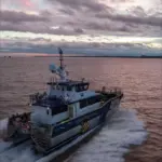
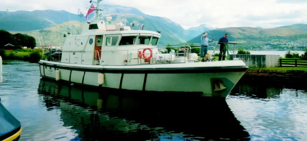
Southampton based marine risk management specialists MARICO Marine will be bringing their survey vessel MORVEN to the floating exhibition at seawork2003 and the companys John Riding will address the UK Harbours Masters Association on the subject of marine traffic surveys and their implications for ports.
The UK’s Maritime and Coastguard Agency has responsibility to the UK Government for Traffic Separation Schemes (TSS) and other sea areas where traffic densities or environmental significance warrant close scrutiny as to their overall safety or environmental impacts associated with passing ships. As part of this brief, marine traffic surveys are occasionally conducted.
MARICO Marine were recently commissioned by the MCA to survey the sea area surrounding the Isles of Scilly. Surveys around Scilly have been done before (1996) , but MARICO’s proposal was innovative and promised to provide accuracy and coverage not achieved before. A radar was placed ashore at a height allowing Land’s End and local TSS to be in range.
MORVEN wasattached to the radar by Wireless Local Area Network (WLAN) technology, giving it the potential to move around the area.
The radar was mounted on top of the old Pilot Watchtower on St Mary’s at a height of 64m to provide the required coverage.
This was particularly fitting as Marconi had once used the Pilot tower for radio transmission and reception tests. The deployment of a high-speed WLAN meant the Tower has been used to test emerging technology at the beginning of both the 20th and 21st Centuries.
The WLAN provided a live radar feed to MORVEN , with the data being processed remotely.
A Transas ECDIS system with a radar overlay was used to record target information and tracks into an online database. Tracks could also be replayed on the ECDIS.
The survey delivered a searchable track database with vessel information attached. A GIS interface allowed MARICO to undertake in-depth analysis of the separation schemes and provide new information to the MCA about traffic scheme design and layout.
A previous survey had estimated about 40 movements per day for the area. The data collected showed 2,095 individual targets in a month, about 75 movements per day. Such an increase could not be due to changed trading patterns alone and the advantage of the technology in terms of tracking accuracy, coverage and superior data collection was clear.
For the first time, the survey revealed just how densely populated the Land’s End TSS system is and the track analysis completed for the report recommended review of the Land’s End TSS layout at entrances. The survey showed traffic increases at weekends and decreases in poor weather, information vital to the MCA Search and Rescue system as it allows targeting of resources.
The use of this technology has now also been applied by MARICO Marine to proposed marine environmental high risk areas (MEHRAs). By innovative use of such technology, improved analysis of port movements can also be undertaken. MARICO has collected and analysed port data from Harwich VTS for proposed container developments, Milford Haven for proposed LNG import, and for the proposed London Gateway development on the River Thames.
Traffic analysis as undertaken by MARICO is becoming a vital component of proving the safety case for any proposed major port development. Ports needing to comply with the IALA VTS103 requirements can also audit their systems by statistical analysis of vessel tracks. This has also been done to evaluate port entrance leads or system tracking accuracy.
MJ Information No: 18373
Related Articles
 ACCESSORIES & EQUIPMENT
 OTHER NEWS
 ACCESSORIES & EQUIPMENT