![MaritimeJournal[Seawork]](https://www.maritimejournal.com/wp-content/uploads/2026/09/MaritimeJournalSeawork.svg)






Satellite data helps revolutionise port navigation
Satellite mapping by UK scientists is helping transform port navigation and marine monitoring in the Mersey River, improving safety and cutting maintenance costs.
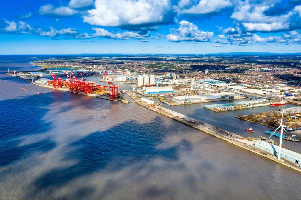
The National Oceanography Centre (NOC) in Liverpool, supported by the UK Space Agency, the Channel Coastal Observatory and Peel Ports Group, has pioneered the use of space technology to track tidal and riverbed changes.
The research, focused on the Mersey Estuary, is enabling more effective marine navigation and proactive planning of maintenance at the Port of Liverpool.
“Through this project we’ve been given new, fresh insights into parts of the River Mersey,” said Russell Bird, deputy group harbour master at Peel Ports Group.
“Gaining an understanding of these areas is helping us to enhance the way we manage navigational safety and dredging strategies.”
3D mapping
Using optical and radar satellite data, as well as advanced readings from the SWOT satellite and the Gladstone Tide Gauge, researchers created 3D maps showing riverbed changes from 2018 to 2023.
This project marks a significant leap in marine monitoring, allowing port authorities to anticipate sediment movement and minimise disruptive dredging operations.
Dr Paul Bell of NOC and co-lead on the project, explained that the integration of satellite imagery and cutting-edge algorithms enables a visualisation of the estuary’s shifting landscape, crucial for maintaining access to one of the UK’s busiest ports.
“The phenomenal advances in the capabilities of the latest satellites are fuelling a revolution in our ability to observe complex and dynamic areas like the Mersey Estuary on a regular basis.”
“We are combining these new satellite capabilities with cutting edge algorithms developed at the NOC that distil this huge volume of data into 3D maps of the estuary that we can turn into movies showing how the sandbanks and channels move around.”
The success of the project builds on years of research and development funded across multiple projects.
It helps puts Liverpool at the forefront of using innovative technology to address challenges in coastal management, with the potential for these methods to benefit other parts of the UK in the future.