![MaritimeJournal[Seawork]](https://www.maritimejournal.com/wp-content/uploads/2026/09/MaritimeJournalSeawork.svg)


Two new reports issued by BMAPA
In March 1999, the British Marine Aggregate Producers Association (BMAPA) and The Crown Estate made a public statement of intent which committed both parties to reviewing all dredging licences over a rolling five year period, surrendering areas no longer containing economic resources of marine sand and gravel, and publishing an annual report detailing the extent of dredging activities within licensed areas.
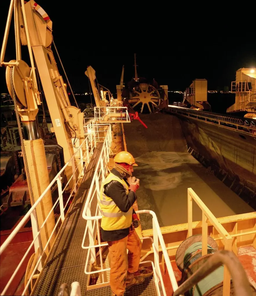
Since its inception, the Area Involved Initiative has generated high quality, high resolution data on the annual extent and intensity of marine aggregate operations, analysis of which provides valuable environmental indicators of the UK sector’s performance at both national and regional scales through annual Area Involved reports. Following the ten year anniversary of the Area Involved Initiative in 2008, a new report has been published which provides an overview of the changes in the area of seabed licensed and dredged between 1998 and 2007, along with some explanation of the observed trends. Building on the five year review, published in 2005, this report also provides data on the total extent of dredging that has occurred over the period, the cumulative dredge footprint.
Key trends include:
• 749.84km2 of licensed area was surrendered.
• 362.44km2 of new area was licensed, the majority of which was beyond 12nm.
• The area of seabed licensed decreased by a net 387.09km2, with the greatest reductions occurring within 12nm of the coast.
• The total area of seabed dredged between 1998 and 2007 amounted to 463.71km2, of which 54.52 km2 (11.76%) is no longer licensed.
• A total of 221.215m tons of marine sand and gravel was dredged from Crown Estate licence areas between 1998 and 2007. Averaged across the cumulative footprint, this represents 29cm of sediment being removed across the entire area dredged, equivalent to a single pass of a drag head.
Published in parallel is the initiative’s 11th annual report, which summarises the area of seabed licensed for marine aggregate extraction and the extent of the area of seabed actually dredged during 2008.
Both documents were launched at an evening reception on board HMS Belfast on 4 November 2009. Addressing the reception on behalf of both organisations, BMAPA chairman John Miller (CEMEX UK Marine) said, ‘While the original intention of this initiative was to improve the transparency of the industry’s activities and to encourage improvements in practice, the policy, planning and regulatory environment in which we all have to operate has undergone a fundamental Sea Change thanks to the Marine Bill.
‘We are now moving beyond the high level concept towards the practical delivery of improvements on the ground (or water). As we do so, accurate spatial information about offshore activities past, present and future will become increasingly valuable in helping to deliver sustainable marine management. In this respect, perhaps after 10 successful years the Area Involved initiative has yet to actually realise its true value in helping to support the sustainable management of marine aggregate extraction operations in UK waters.’
Both documents are available to be downloaded from the websites of either BMAPA (www.bmapa.org) or The Crown Estate (www.thecrownestate.co.uk).