![MaritimeJournal[Seawork]](https://www.maritimejournal.com/wp-content/uploads/2026/09/MaritimeJournalSeawork.svg)






A new alternative to GPS
The UKs General Lighthouse Authorities have launched a land-based alternative to vulnerable satellite-based GPS.
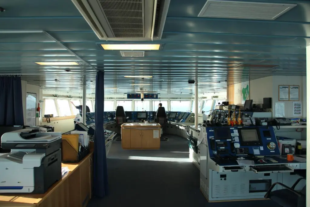
The satellite-dependent Global Positioning System (GPS) is the basis for practically all the navigation, communications and positioning systems on the bridge of a modern vessel, including gyrocompass, radar, AIS, dynamic positioning, electronic charts and telecommunications.
With dead reckoning, sextants and paper charts consigned to the wastebasket of history, today’s’ mariners are almost totally dependent on GPS or the counterpart systems Galileo in Europe and the Russian Glonass.
But GPS is vulnerable to faults, sabotage or solar storms which could block or compromise the signals being bounced back from orbiting satellites. Readily accessible GPS blockers can pose a local threat to nearby receivers, while more ominously North Korea has already used high-powered jammers against its southern neighbour.
Until now there has not been a serviceable alternative to satellite systems but a new development being trialled by the General Lighthouse Authorities (GLA), which comprises Trinity House, the Northern Lighthouse Authority [Scotland] and the Commissioner of Irish Lights, offers an alternative based on technology developed during World War ll. Known as eLoran this is a modernised version of the Long Range Navigation system developed by US scientists to guide Navy warships. This was updated post-WW2 as Loran-C, and was used by mariners around the world.
eLoran is a low frequency terrestrial navigation system based on a number of ground-based transmission stations, which emit precisely timed and shaped radio pulses centred at 100 kHz radio frequency. Each station emits a sequence of 8 pulses spaced 1000 microseconds apart. The stations are grouped into chains. The master station transmits first, followed by successive transmissions from each of the secondary stations, which are repeated periodically.
Modern receivers can measure the ‘time of arrival’ of signals from many stations and multiple chains at once. eLoran uses solid-state transmitters, precise timing (using atomic clocks) and a data channel to provide correction and integrity messages. Built-in microprocessors enable the receiver to output latitude and longitude directly. Using long-range radio waves, eLoran is more sturdy than GPS and less prone to jamming or interference.
The GLA has installed eLoran in the ports of Dover, Sheerness, Harwich and Felixstowe, Middlesborough, Leith, Humber and Aberdeen. The stations provide alternative position, navigation and timing (PNT) information to ensure that ships equipped with eLoran receivers can navigate safely. In the event of GPS failure an algorithm is designed to switch seamlessly over from GPS to eLoran.
The GLA contracted UrsaNav Inc. to deliver operational capability by Summer 2014. The first successful demonstration of a prototype automatic resilient PNT system using eLoran was held aboard the THV Galatea during February and March this year. The system went live in November.
As Martin Bransby, Research & Radionavigation Manager at the GLAs, explained: “Demands on marine navigation continue to increase and awareness of the vulnerability of GPS is growing, yet electronic systems at sea have not evolved at a sufficient pace to meet these challenges. . . We hope that the maritime industry will respond proactively to the new stations rollout by installing eLoran receivers on more vessels.”
Full operational capability covering all major ports is expected by 2019.
By Graeme Ewens
Related Articles
 OTHER NEWS
 ACCESSORIES & EQUIPMENT
 ACCESSORIES & EQUIPMENT