


Flying laser plans flood defences
Highly accurate 3D digital maps, captured from aircraft mounted lasers, are being used to assess the risk of flooding at critical utility sites across the UK.
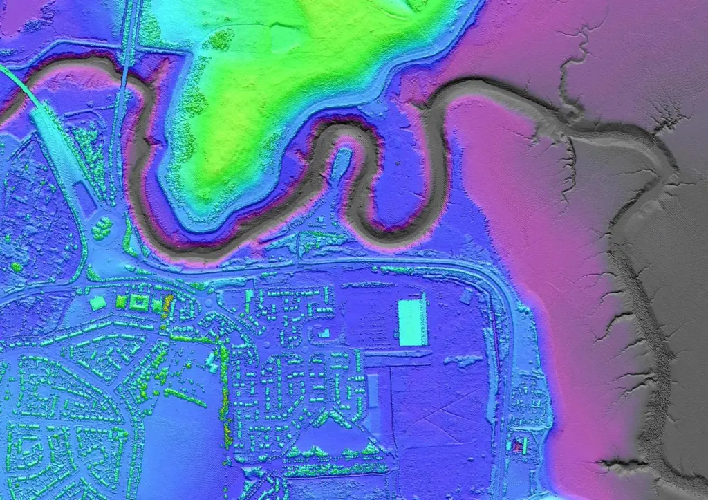
Highly accurate 3D digital maps, captured from aircraft mounted lasers, are being used to assess the risk of flooding at critical utility sites across the UK.
Related Articles
 MARINE CONSTRUCTION
 EQUIPMENT
 MARINE CONSTRUCTION