



Interoperability with the CSAR framework
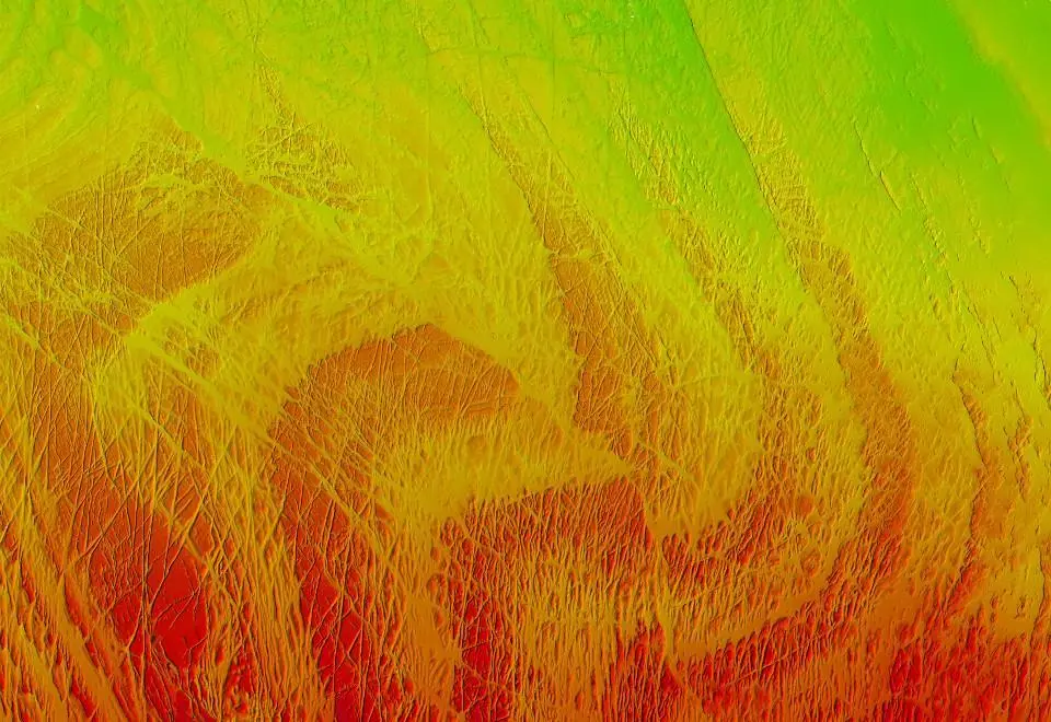
Safe Software and geospatial software developer CARIS have made support for the CARIS Spatial Archive (CSAR) raster format for gridded bathymetry and elevation data in FME 2014, officially released last month.
Safe Software and geospatial software developer CARIS have made support for the CARIS Spatial Archive (CSAR) raster format for gridded bathymetry and elevation data in FME 2014, officially released last month.