

Commercial technology uncovers wreck
Swedish underwater specialist MMT has announced participation and sponsorship on the investigation on the 530 year old wreck of the ‘Gribshunden’ outside Ronneby, Sweden.
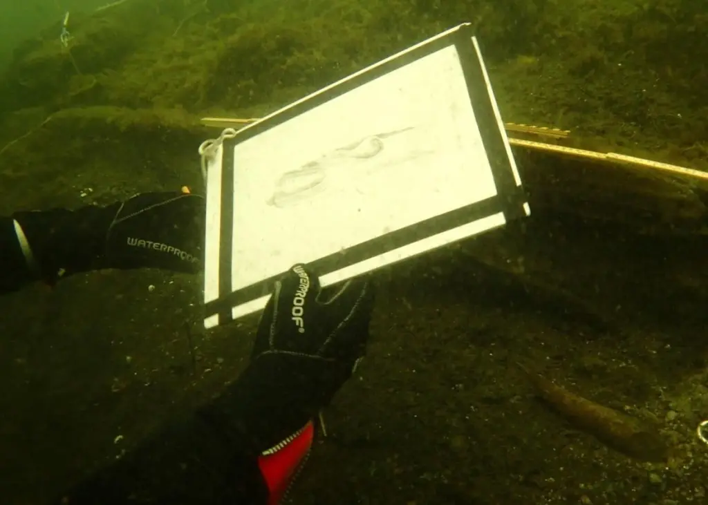
MMT and MARIS (the Maritime Archaeological Research Institute) at Södertörn University have evaluated different techniques to map archaeological remains.
MMTs former survey vessel Triad mapped the wreck site of Gribshunden with multibeam echo sounders and the team used a Blue View 3d sonar scanner on a stand next to the wreckage. This method provides a high resolution 3d model and an excellent overview of the wreck and surrounding area.
Photographic material has now been gathered in order to build photogrammetry of the wreck site. The data will be processed by MMT and the different techniques will be combined to create an accurate and high resolution image of the wreck site.
The commercial version of this kind of survey, using the still imagery for photogrammetry, is introduced with the new Survey ROV – Surveyor Interceptor (SROV). MMT has developed this high speed Survey ROV together with their Norwegian partners Reach Subsea. According to MMT, the combination of the SROV and the photogrammetry delivers amazing results in commercial contexts.
All data collected on Gribshunden will serve as a foundation for planning future excavations.
By Jake Frith