


Coastal Inundation Challenge winner
UKHO recently ran a challenge to identify how marine geospatial data can be used to identify areas at risk of coastal inundation.
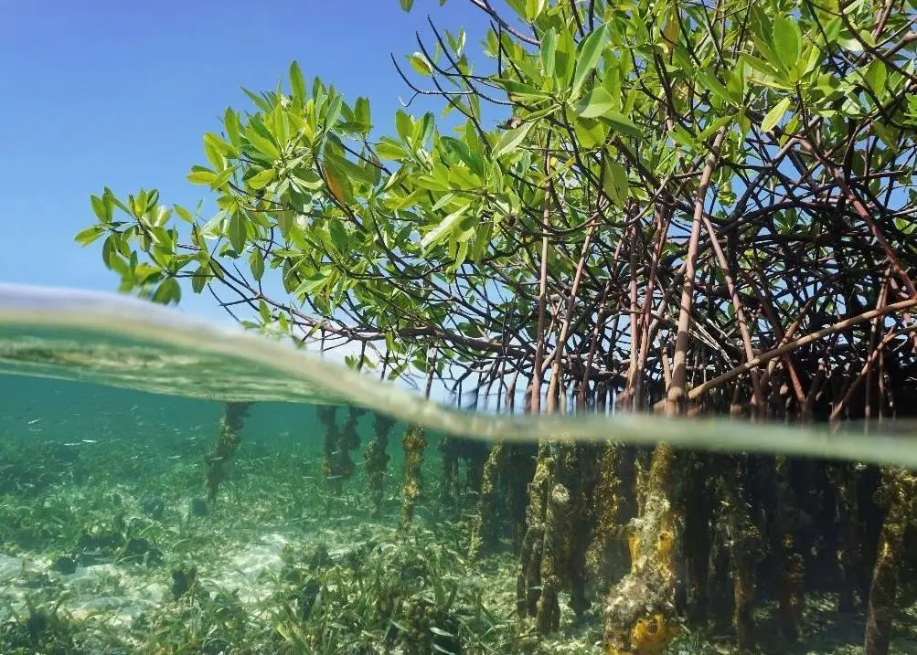
The UK Hydrographic Office (UKHO) has announced HydroSurv as the winner of the fourth ADMIRALTY Marine Innovation Programme Challenge: Assessing risk and resilience for coastal flooding.
For many people around the world, coastal inundation poses a significant threat. Caused by storm and tidal surges, coastal inundation can completely submerge coastal areas in sea water, causing substantial damage to infrastructure and harm to vulnerable communities. As part of the ADMIRALTY Marine Innovation Programme, the latest challenge called upon innovators and start-ups to develop solutions that could identify coastal areas that are most at risk of flooding and help communities build resilience.
As a global innovator in uncrewed survey vessels and cloud applications for ocean industries, HydroSurv responded to the challenge with a prototype solution that used data collection and automated change detection software to identify areas at risk of coastal inundation. By analysing the differences between new bathymetry collected by uncrewed surface vessels and wider data sets, the solution will able to detect changes to coastal marine environments, such as erosion and movement of the seabed, that could increase the risk of coastal inundation.
As the challenge winner, HydroSurv will now collaborate with UKHO, utilising marine geospatial data and expertise to develop an alpha product for wider release.
By Jake Frith
Related Articles
 SUBSEA SERVICES
 ENVIRONMENT
 OCEAN SCIENCES