
D-Day mapping expedition completed
Ahead of the 70th anniversary next June of the World War 2 D-Day invasion of Normandy by allied forces, the UK Hydrographic Office and its French counterpart, SHOM, are collaborating on updating an international wreck database of the former combat area.
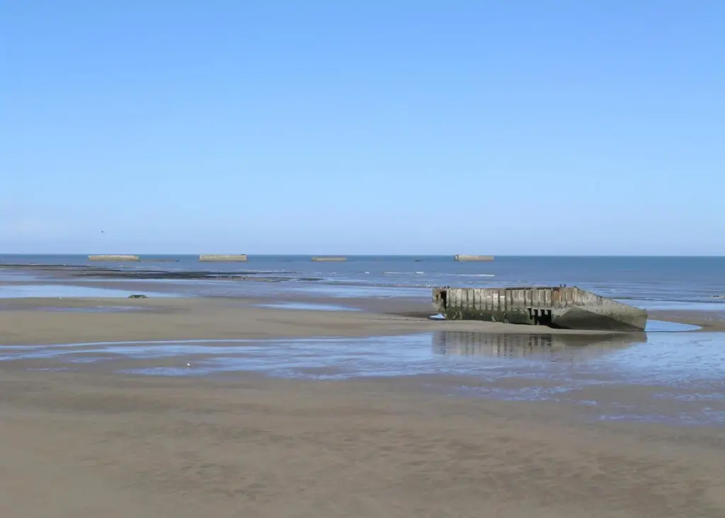
The project involves processing of an enormous 11-terabyte dataset arising from a 27 day survey of 511km2 of all five offshore beach areas. Over 300 wrecks and obstructions have so far been identified and mapped.
The survey, which is to be the subject of a 90 minute TV documentary next year, is also designed to assist the Normandy region in obtaining recognition of the area as a UNESCO World Heritage Site. Operations have been carried out aboard two French vessels, the Andre Malraux, operated by the Department of Underwater & Undersea Archaeological Research (DRASSM), and Etoile Marine’s Magic Star.
Survey and ROV systems deployed for the project included an Edgetech 4600 540kHz combined bathymetric and sidescan sonar, an R2Sonic 2024 700kHz ultra high resolution multibeam unit, and positioning facilities provided by Measutronics supported by two Nuytco manned submersibles for filming operations. Dassault Systems are reported to be creating 3D visualisations to help reveal wrecks on the seafloor.