


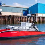



WATCH: Detecting oil spills using satellite technology
New research at Plymouth Marine Laboratory (PML) is helping to detect and address oil spills across the globe using advanced satellite technology.
With the demand for oil still increasing, so are oil spills, which equate to approximately 700 million gallons of oil entering our ocean annually.
Advanced technologies
Oil slicks are generally detrimental in two main ways. Firstly, fouling or oiling occurs when oil harms a plant or animal physically and often impacts the chance of survival for the animal.
Secondly, oil toxicity. When ingested, oil can cause severe health problems, such as heart damage, stunted growth, immune system effects and even death.
Both of these impacts can also cause long-term harm at wider scales by changing food webs and altering species populations for years to come. Sensitive habitats, such as mangroves, coral reefs and seagrass meadows and the vital services they provide in coastal protection and refuge, are also at high risk and could take decades to fully recover.
Among other projects, PML has lead in the development of a service for observing illegal oil discharge from commercial vessels in the Malacca strait and has provided active support of spill response and clean-up efforts for 2 spills in Malaysia and Mauritius.
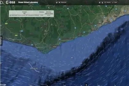
The PML team also contributed to a multi-country policy report on state of the coast for West Africa, with a focus on oil spills.
PML has also been developing a novel satellite-based oil slick detection algorithm for very high resolution imagery, working with commercial satellite data provider, Capella Space. The data collection stage has been completed, generating over 60 images from three target study locations.
In addition, the development of a machine learning model that can provide accurate sub-daily detections of oil dispersal is nearing completion.
Related Articles
 ELECTRICAL SYSTEMS
 ENVIRONMENT
 ENVIRONMENT