






GNSS manufacturer selected to equip lightweight mapping drone
GNSS receiver manufacturer Septentrio has been selected to equip Delair’s UX11 lightweight, BVLOS-ready fixed-wing mapping drone which aims to provide a cost-effective solution for large area surveying and mapping.
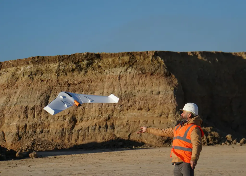
Septentrio will supply its high-precision AsteRx-m2 GNSS OEM receiver module and PPK library to the drone allowing it to deliver high-precision multi-frequency quad-constellation GNSS measurements along with one of the lowest power consumptions available.
“The integrated processing capabilities are able to ensure image quality in real time and provide users with accurate results that shape critical operational decisions and strategies. And it’s designed for flexible use in a variety of conditions and use models, further lowering TCO,” said Chase Fly, geospatial product manager at Delair.
High-spec
By employing the latest high-spec photographic, sensor and communications elements, Delair has kept the weight of the UX11 including payload down to an impressive 1.4 kg (3.1 lbs).
Among other design innovations, this allows the UX11 to cover 200 ha (500 acres) in a single one-hour flight, delivering mapping with GSDs below 1 cm/px (0.4 in/px) with accuracy down to 1.27 cm (0.5 in).
A 3G/4G network link to the UX11 allows the operator to assess in real-time, the quality and overlap of images during flight and make any necessary adjustments to the settings of the integrated camera meaning collecting as many aerial intelligence as possible, in a minimum number of flights.
The combination of high-quality camera images and GNSS measurements from the AsteRx-m2 allows Delair to offer its users PPK survey-grade ground precision down to 1 cm.
By Anne-Marie Causer
Related Articles
 ACCESSORIES & EQUIPMENT
 MARINE CIVILS
 MARINE CIVILS