![MaritimeJournal[Seawork]](https://www.maritimejournal.com/wp-content/uploads/2026/09/MaritimeJournalSeawork.svg)






Why motion matters: From MRUs to INS in bathymetric survey
Even the most advanced multibeam echosounder is only as good as the motion data behind it. Survey vessels pitch, roll and heave with every wave, and while this movement may seem subtle from the deck at times, it has a direct and often significant impact on bathymetric data used for seabed mapping, environmental surveys and pre-construction assessments.
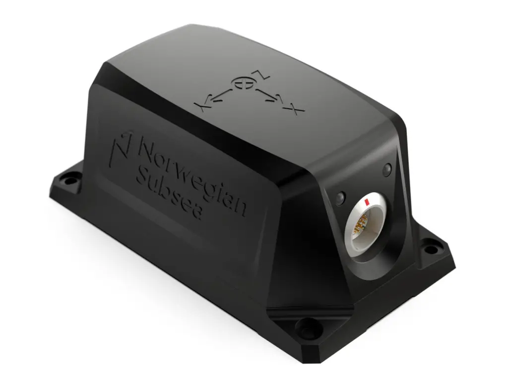
A small angular error can translate into metres of depth inaccuracy on the seabed. For operators relying on the quality of collected data, whether producing nautical charts, conducting dredging surveys or planning subsea construction, understanding how vessel motion is measured and corrected is fundamental to achieving reliable results. At the centre of this process sits a quietly essential technology: the Motion Reference Unit, or MRU.
Correcting a moving platform
Multibeam systems work by sending out hundreds of sonar beams in a wide swath beneath a vessel. Each beam must be precisely positioned in four-dimensional space, with time as the fourth dimension, to build an accurate picture of the seabed. However, vessel motion distorts those measurements in real time.
An MRU addresses this by continuously measuring the vessel’s motion across all six degrees of freedom: roll, pitch, yaw, surge, sway and heave. This enables the sonar system to correct each beam as it is recorded. Without this correction, seabed features can appear warped, shifted or even completely obscured.
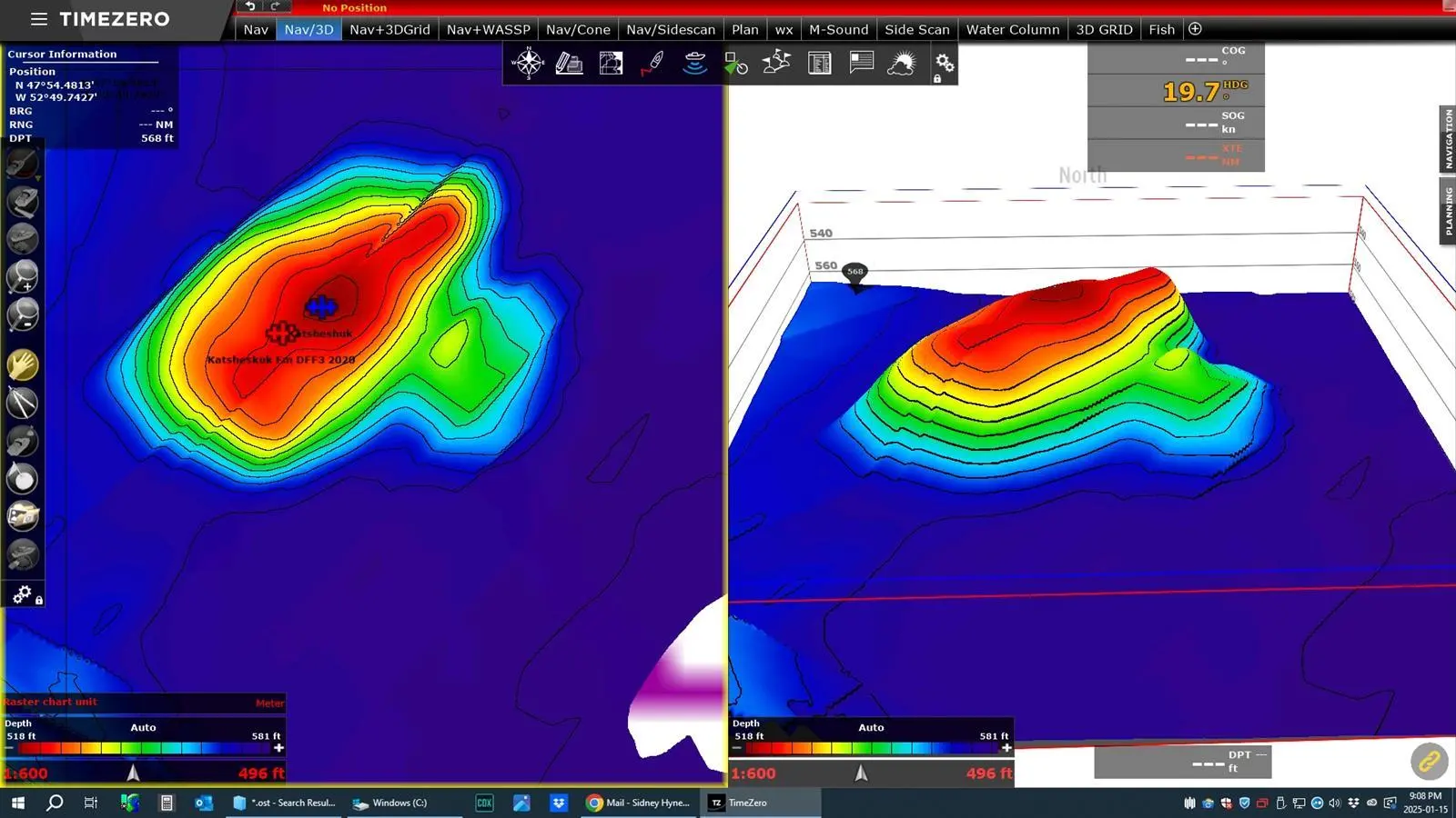
Heave, the vertical movement of the vessel, is particularly critical in bathymetry. As experienced multibeam user Sid Hynes has observed from his work mapping shipwrecks in the Grand Banks of Newfoundland, ‘heave is the key’. In multi-directional swells, uncorrected vertical motion can make it nearly impossible to distinguish real seabed features from noise.
Different surveys, different demands
Not all bathymetric surveys require the same level of precision, and this is reflected in the International Hydrographic Organization’s S-44 standard. S-44 defines different ‘orders’ of survey, from Special Order, used for the most demanding applications such as harbour approaches, through to Orders 1a, 1b and 2, which apply to progressively less stringent use cases. Each order specifies allowable uncertainty in both depth and position.
S-44 defines the quality of the final data, not the specific equipment used. It is up to the surveyor to select the right combination of sensors and systems to meet the requirement. For many applications, a well-performing MRU paired with appropriate positioning is sufficient. This is particularly true for general seabed mapping, fisheries work and offshore operations where the priority is reliable, repeatable data rather than the tightest possible tolerances.
As the required survey order increases, so too does the need for tighter control over all sources of uncertainty. Motion is one part of that equation, but positioning, heading, timing and system integration become equally important.
From motion to navigation
MRUs provide the foundation for motion compensation, ensuring that vessel movement does not distort the data being collected. By delivering stable roll, pitch and heave measurements, they allow multibeam systems to produce a coherent picture of the seabed, even in challenging conditions. For many use cases, this is enough.
However, when seeking finer error tolerance in bathymetric data, measurements must also be accurately positioned, aligned and synchronised over time. Small discrepancies between motion, position and heading can introduce uncertainty, particularly in deeper water or higher-precision surveys.
This is where the distinction between motion sensing and navigation becomes important, and where moving to an Inertial Navigation System, or INS, can help. An INS provides a continuous, integrated estimate of position, velocity, orientation and heading. By combining inertial measurements with external positioning inputs, it creates a unified navigation solution.
The benefit is greater consistency. Motion, position and heading are no longer treated as separate inputs that must be aligned, but as part of a single system. This becomes increasingly valuable in higher-order surveys, where tighter control of uncertainty is required and multiple sensors must work together seamlessly.
In practice, MRUs and INS are not competing technologies, but part of a progression. An MRU provides the essential foundation for motion compensation, while an INS extends that capability when the survey demands a more integrated and robust navigation solution.
|
Feature |
MRU (Motion Reference Unit) |
INS (Inertial Navigation System) |
|
Primary output |
Roll, pitch, heave |
Position, velocity, attitude, heading |
|
Core focus |
How the vessel moves |
Where the vessel is and how it moves |
|
GNSS dependency |
Not required for motion |
Typically aided by GNSS for long-term accuracy |
|
Typical use |
Motion compensation for sonar and radar |
Integrated navigation for survey and positioning |
|
Complexity |
Lower |
Higher |
In simple terms, an MRU ensures that measurements are not distorted by vessel motion. An INS ensures those measurements are correctly located and consistently aligned in space.
Choosing the right approach
For many operators, the key question is not which technology is better, but which is appropriate for the task. When selecting an MRU, real-world performance in varying sea states is often more important than headline specifications. Consistent heave accuracy, ease of integration, long-term stability and minimal maintenance requirements all contribute to operational efficiency over time. When selecting an MRU, it is important to ensure that performance figures are based on real-world conditions, as accuracy demonstrated on flat water does not guarantee high-quality data in more challenging environments.
For applications where positioning accuracy, heading stability and system integration become limiting factors, moving to an INS-based solution may be justified. This is particularly relevant for higher-order hydrographic surveys, complex subsea construction work, or operations where multiple data sources must be tightly aligned.
While S-44 remains the current benchmark for hydrographic surveys, the industry is already looking towards the S-100 framework, which introduces a more advanced, digital approach to hydrographic data. S-100 is not a direct replacement today, but it signals a shift towards richer datasets, improved interoperability and greater confidence in the information used for navigation and decision-making. As these expectations evolve, so too will the demands placed on survey systems.
In practical terms, this points towards greater integration. High-quality motion data will remain essential, but the additional capability of an INS will be more in demand. Understanding the distinction allows operators to make informed decisions, balancing performance, complexity and cost, and ensuring that the data collected at sea is always fit for purpose.