![MaritimeJournal[Seawork]](https://www.maritimejournal.com/wp-content/uploads/2026/09/MaritimeJournalSeawork.svg)






Kongsberg maps Pacific Ocean depths
Kongsberg and the Ocean Exploration Trust (OET) have launched a groundbreaking deep-sea mapping expedition in the central Pacific, aiming to chart vast areas of previously unexplored seafloor using advanced multibeam sonar technology.
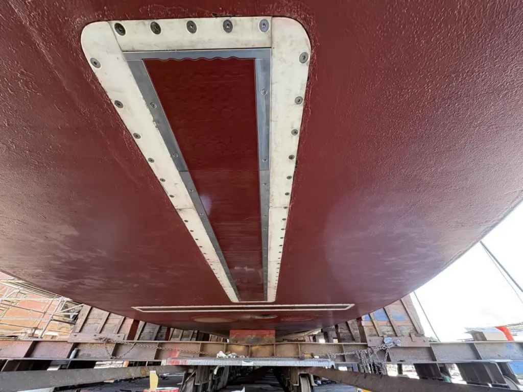
The Pacific Mapping (NA178) expedition, running from 10 to 24 June on board OET’s Exploration Vessel Nautilus, marks the first deployment of Kongsberg’s EM 304 MKII multibeam echo sounder. Three Kongsberg engineers are embedded with the mission team throughout the voyage, using the expedition as a real-world testing platform to further enhance deep-water mapping capabilities.
Despite oceans covering more than 70% of the Earth’s surface, significant portions of the deep seafloor remain unmapped at high resolution. The EM 304 MKII has been designed to address this challenge, offering full-ocean-depth capability, wide swath coverage and detailed imaging of underwater terrain.
“The EM 304 MKII is optimised for features of interest we tend to explore, like complex canyons, seamounts, ridges, trenches, seafloor spreading centres, and subsea volcanoes,” said Derek Sowers, mapping manager at Ocean Exploration Trust.
“It allows us to map and reveal these amazing features in greater detail and sets us up for success for further exploration using our ROVs and other assets.”
According to OET, the new system is expected to double the area that can be surveyed compared with previous equipment, significantly improving efficiency while reducing operational costs.
The expedition also offers valuable insights for Kongsberg engineers. “We can simulate many configurations in the lab and on our test vessels, but not the realities of deep-water surveying,” said Colleen Peters, product manager Mapping Software at Kongsberg. “That is why it is essential to test in the same conditions our customers work in.”
Peters added that the partnership demonstrates the growing importance of high-quality seabed data for scientific research, environmental monitoring and subsea infrastructure development.
Related Articles
 OTHER NEWS
 MARINE CIVILS
 MARINE CIVILS