


Passage planning weather overlay
A new weather overlay for electronic charts has been launched by UK-based software specialists Norcom, with the promise that the weather information is not only far more accurate than app-based suppliers, but also tailor-made for commercial operations.
Norcom is a specialist in marine mapping, navigation and surveying, particularly in the oil and gas industries, and appreciates how much difference accurate weather modelling can make when used with route planning software.
The new product is called Weather Track, and provides forward planning weather for up to 7 days, with an HD resolution that can bring local perspective down to a nautical mile. The weather modelling is sourced from the University of East Anglia, and is uploaded onto a laptop from a shore-based Internet link immediately prior to an offshore trip. The information is refreshed twice a day, and can be regularly updated at sea if a WiFi link is available.
“Unlike many smartphone apps, this is a recognisable weather programme that can be overlaid onto an electronic chart for very accurate route planning,” explained Norcom’s MD Phil Harris. “This allows trouble spots to be avoided, and most weather-related potential problems to be allowed for.”
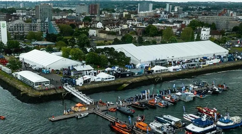
You can see a demonstration of Weather Track at the Norcom stand at Seawork International 2018.