





MoU signed with UKHO to map world’s entire seabed
The UK Hydrographic Office has joined an ambitious project to map the ocean floor by 2030.
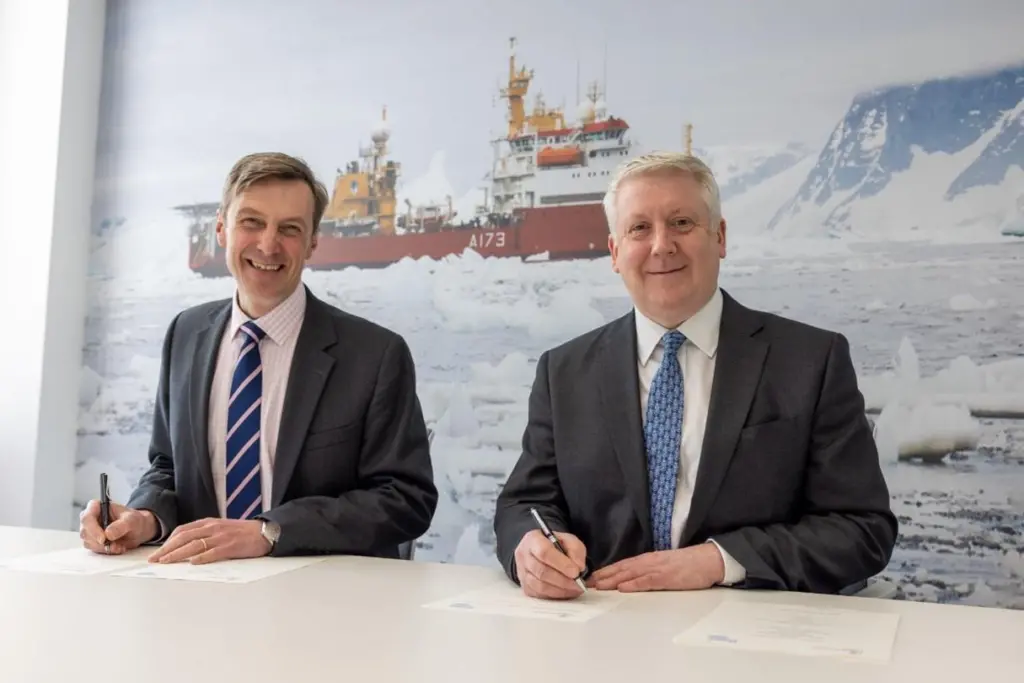
An MoU has been signed that will help to bring about the complete mapping of the world’s ocean floor.
The UK Hydrographic Office (UKHO) has signed an agreement with GEBCO, the General Bathymetric Chart of the Oceans, which has an ongoing project with the Nippon Foundation to completely map the world’s oceans by 2030.
The project, Seabed 2030, also intends to compile all bathymetric data into the free GEBCO ocean map.
GEBCO is a joint programme underneath the International Hydrographic Orgnaisation and the Intergovernmental Oceanographic Commission, and the only organisation with a mandate to map the entire ocean floor.
Seabed 2030 has been called a flagship programme of the ‘Ocean Decade’, a UN-backed initiative launched in January 2021 to increase scientific awareness and knowledge of the oceans – which cover 71% of the planet.
The mission of the ’UN Ocean Decade: An Ocean Knowledge Revolution in Action’ is to ’catalyse transformative ocean science solutions for sustainable development, connecting people and our ocean’ while generating the knwledge needed to support a ’well-functioning, productive, resilient, sustainable and inspiring ocean’.
Last week, a Memorandum of Understanding was signed between the UK’s Hydrographic Office and the Nippon Foundation, under which the UKHO promised to provide bathymetric gridded map products and share methods and best practices in technological innovation, infrastructure and solutions for mapping and data management.
”Today marks an important date as we initiate the release of identified data contributions to the project,” said Peter Sparkes, chief executive of the UKHO. “We share the Seabed 2030 vision and blieve that the full mapping of the world’s ocens is a key milestone in supporting safe, secure and thriving oceans.
“Knowing the depth of the seabed is a fundamental parameter for understanding ocean circulation, tides, wave action, sediment transport, environmental change, underwater geo-hazards, cable and pipeline routing, and much more.”
“With eight years left until the end of the decade and 80% of the sea floor still to be mapped, UKHO’s data contribution and expertise on ocean mapping solutions will no doubt play a significant role in supporting Seabed 2030 realise its goal for the benefit of humanity,” said pSeabed 2020 roject director Jamie McMichael-Phillips.
”
Related Articles
 MARINE CIVILS
 MERGERS & ACQUISITIONS
 OTHER NEWS