



Digitised data assists coastal water quality studies
Detailed marine mapping is being used to understand factors affecting the quality of water off the Yorkshire coast.
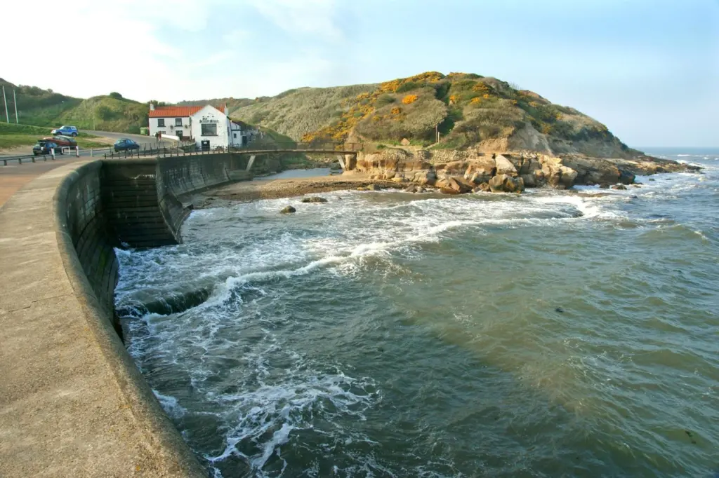
In a project managed by Arup on behalf of Yorkshire Water, the study involves investigations of the impact of sewerage infrastructure on the quality of bathing water at the resorts of Scarborough and Bridlington.
Digital survey data combined with scanned and georeferenced images of nautical charts have been used to create a coastal model to simulate bacteriological water quality in the region. Using detailed water depth data that combined with scanned and geocoded images of Admiralty Charts, Arup created a 2D hydrodynamic model of the study area. Other contributing factors such as tidal and meteorological inputs were also included in the resulting analysis of bathing water quality.
‘The water quality assessments are helping us understand the impact of effluent so that future investment and resources can be targeted effectively,’ said an Arup technician, who added that digitised data was required for the project, and this in itself pointed to Seazone as a data provider.
SeaZone’s Digital Survey Bathymetry offers an innovative solution to obtaining detailed and accurate water depth information relative to sea level and hence the height and shape of the seabed. It provides survey data that has either itself been collected digitally or captured from paper survey sheets, often known as ‘fair sheets’ which are quality controlled at the United Kingdom Hydrographic Office and other leading institutions. This level of detail and accuracy is absolutely critical for development and monitoring projects and for the confidence that the user has in the results.
SeaZone Charted Raster, also used by Arup on the project, is based on scanned and geocoded images of Admiralty Charts and is available for immediate use in Geographic Information Systems, without the need for additional software, add-ons or plug-ins. This can, as in the Arup survey, provide a backdrop mapping for a variety of applications on the desktop and internet and can be combined with additional datasets to make the display and dissemination of maps simple and effective.
Related Articles
 OTHER NEWS
 MARINE CIVILS
 MARINE CONSTRUCTION