
Cable survey challenge
One US-based marine environmental consulting and survey company recently completed a challenging multidisciplinary telecom cable route survey.
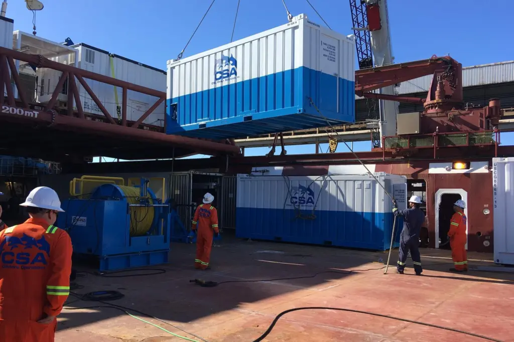
CSA Ocean Sciences Inc. (CSA) undertook the geophysical and benthic survey in East Florida as part of an ongoing marine cable route campaign for a major telecommunications company.
Kevin Peterson, CSA’s CEO, said: “The east coast of Florida is a challenging environment with deep water and extreme currents, so an efficient operation is imperative to minimizing costs and exposure.”
The project utilised a 150’ class Dynamic Positioning (DP)1 supply vessel equipped with a stern A-frame. CSA installed the survey equipment, winches, control van, side pole, and auxiliary power systems. Side-scan sonar and marine magnetometer data was collected along the east Florida coastline, running through the heart of the Gulf Stream in water depths ranging from 10m to 1,000m.
CSA’s onboard marine scientist identified specific areas of interest from the processed geophysical data and devised an in situ sample plan to conduct benthic grabs of the seabed. Following benthic sampling along the route, CSA surveyors deployed a proprietary Deep Tow Video System (DTVS) to collect high-definition video of the seafloor flora and fauna.
The company is already planning for additional campaigns of a similar scope.