

- Subscribe
- Special Reports
Batteries in Maritime
Autonomy at Sea
Alternative Fuels
Tugs, Towing & Salvage

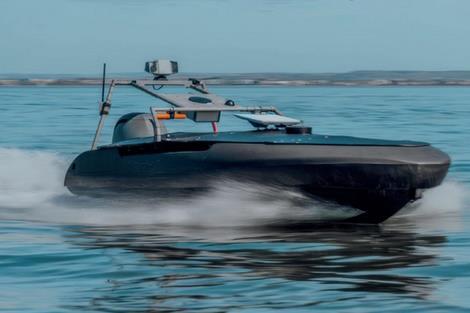
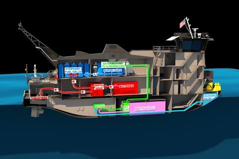
Examining the growing role of batteries in maritime, questioning their green credentials while exploring industry insights, operator experiences and lessons learned from early electric vessel adoption worldwide. Highlighting the innovators advancing subsea and maritime technology, from autonomous underwater swarms to cloud-connected assets and data-driven predictive models, reshaping how real-time conditions at sea are understood globally today. Exploring one of the workboat sector’s dilemmas today: which emerging fuels hold the most promise in terms of cost, availability, practicality and performance? Or should we simply clean up the Black Gold? Looking at how tugs, towing and salvage vessels are adapting to stricter regulations; contemplating new propulsion technologies and alternative fuels; and changing design strategies for one of maritime’s most demanding sectors. Read More Read More Read More Read More
- Industry Database
- Events
Seawork
15th - 17th June 2027Speed@Seawork
14th June 2027Seawork Conferences



The 28th edition of Europe’s largest commercial marine and workboat exhibition provides businesses the opportunity to showcase their services, equipment, vessels and supplies to an international audience. Speed@Seawork on 14th June in Cowes offers a sector specific event that showcases fast vessels operating at high speed for security interventions and Search & Rescue. Taking place at the annual Seawork Exhibition in Southampton, UK from 15–17 June 2027, Seawork Conferences deliver a varied programme of sessions featuring expert speakers addressing the latest topical issues in the commercial marine industry. Visit the Seawork Website Speed@Seawork on the Seawork Website View on Seawork
New Norcom software seen at Seawork
2012-06-19T09:30:00
A new marine GIS software suite for overlaying data onto electronic charts was among a number latest developments featured by Norcom Technology on its Seawork stand.
This is premium content
Already a member? SIGN IN now
Register for a FREE one-month trial to continue this article
It only takes a minute to sign up for a free account, and you’ll get to enjoy:
- Weekly newsletters providing valuable news and information on the commercial marine sector
- Access to the Maritime Journal Industry Database
- Website access (3 standard news articles per month)
Get access and more free content sign up today
Does your organisation require more access? Upgrade to a subscription and enjoy unlimited news and additional features.


- Terms & Conditions
- Cookie Policy
- Privacy Policy
- © 2024 Maritime Journal
Site powered by Webvision Cloud