
Hydrographic Survey

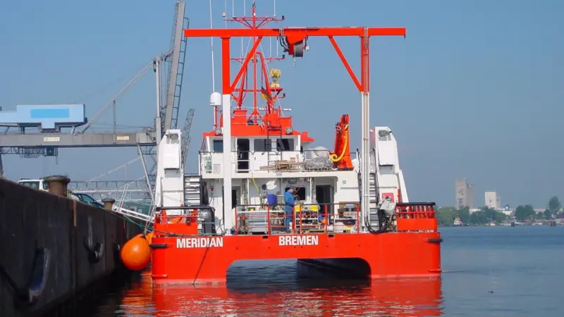
MV Meridian will return for Baltic and Bothnian survey work for the second year in a row HYDROGRAPHIC SURVEY

MONALISA motivates Baltic and Bothnian surveys

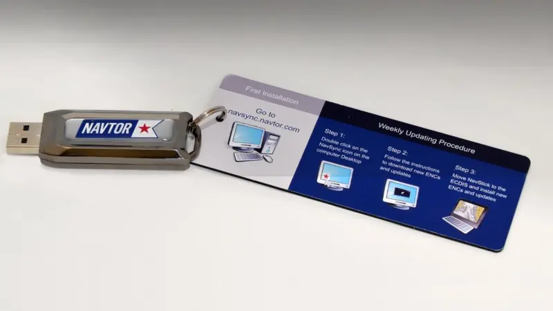
Navtor’s USB-compatible NavStick for direct uploading of charts to an ECDIS unit HYDROGRAPHIC SURVEY

New ECDIS developments

HYDROGRAPHIC SURVEY

Turnkey survey solutions in boat package

HYDROGRAPHIC SURVEY

Finnish and Swedish contracts for MMT

HYDROGRAPHIC SURVEY

Further Sonardyne positioning orders

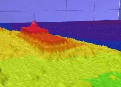
Acoustic data from the Kongsberg EM2040D HYDROGRAPHIC SURVEY

Hydro surveys for project MONALISA

HYDROGRAPHIC SURVEY

Kongsberg introduces Remus 100-S AUV

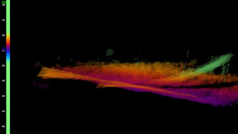
The operator has an immediate 3D view of the subsea scene during the operation HYDROGRAPHIC SURVEY

Sonar monitors windfarm cable touchdown

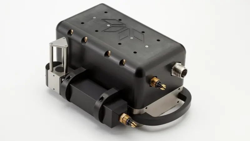
Teledyne Odom Hydrographic’s new low cost MB1 multibeam sounder, designed for shallow water applications in depths down to 100m. HYDROGRAPHIC SURVEY

Sadaret plans MB1 multibeam demos

HYDROGRAPHIC SURVEY

New Norcom software seen at Seawork

Sponsored