![MaritimeJournal[Seawork]](https://www.maritimejournal.com/wp-content/uploads/2026/09/MaritimeJournalSeawork.svg)






UKHO supports Montserrat seabed mapping
The UK Hydrographic Office is supporting Montserrat authorities with a seabed mapping data study to help with understanding, managing and protecting its marine life.
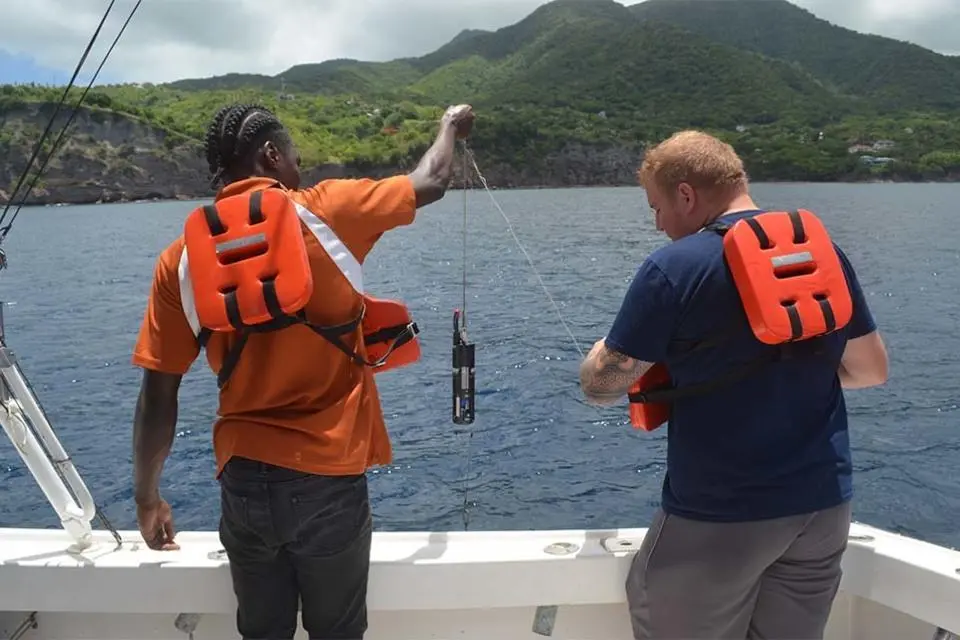
For this project, funded by the UK’s Conflict, Security and Stability Fund (CSSF), the UKHO worked alongside the Montserrat Hydrographic Survey Team to collect data from the waters around the island.
”The joint survey between the UKHO and Montserrat reinforces the ongoing collaboration and commitment of the UKHO to ensure that Montserrat authorities are able to survey their waters to international standards,” said Kerrie Howard, hydrographic programme manager at the UKHO.
Marine planning
The information gleaned from the survey will be used to assist with inundation mapping, which supports disaster resilience and planning, as well as by environmental departments to update habitat maps and the Royal Navy for relief efforts.
UKHO will now validate the data, before updating any of its navigational products that cover the waters around Montserrat.
This seabed mapping data survey is the latest in a series of projects where the UKHO, through its Overseas Territories Seabed Mapping Programme (OTSMP) has collaborated with authorities in Montserrat, which is a British overseas territory.
During the past six years, the OTSMP supported local authorities to improve compliance with international maritime obligations and provided equipment and expertise to undertake seabed mapping surveys.
This latest survey is one of the three workstreams that the UKHO and Montserrat Hydrographic Survey Team have worked on in the 2022/23 financial year. They are also carrying out a hydrographic action plan review and installing a marine environmental monitoring station.
The marine environmental monitoring station will be installed on the existing jetty at Little Bay in Montserrat to collect tidal data later this year. Tracking the rise and fall of tides over time is key to refining the modelling and prediction of tides.
The Montserrat hydrographic survey team will receive information from the monitoring station to support its data collection operations. The station’s data will also be freely available on the Intergovernmental Oceanographic Commission’s website and linked to the regional early warning and migration systems for tsunamis just after installation later this year. The scientific community can use this data to understand sea levels over time and any related impact on climate change. The information is also available to local stakeholders, who can share it to enable the safe passage of vessels and secure marine operations.
The UKHO, through the CSSF, has continued to provide a wide range of support in Montserrat for six years, culminating in this year’s programming. The seabed mapping of the eastern side of the island will replace data last collected in 1867.