![MaritimeJournal[Seawork]](https://www.maritimejournal.com/wp-content/uploads/2026/09/MaritimeJournalSeawork.svg)






Saildrone USVs begin Florida ocean mapping mission
Two uncrewed surface vehicles (USVs) have been deployed from St Petersburg to map Florida’s coastal waters, providing vital seafloor data for navigational safety and coastal resilience.
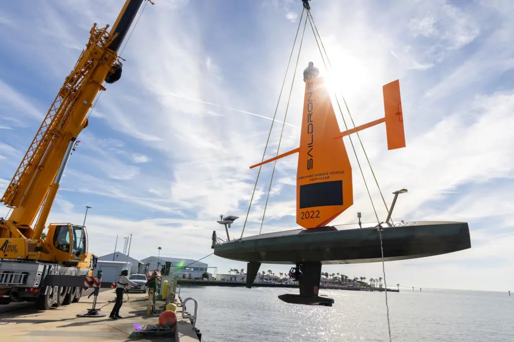
Saildrone has launched two ten metre Voyager USVs as part of the Florida Seafloor Mapping Initiative (FSMI), a multiyear effort to deliver high-resolution seafloor data of Florida’s coastal waters within the continental shelf.
“Saildrone is proud to support the Florida Seafloor Mapping Initiative with our unique and innovative Voyager USVs,” said Brian Connon, vice president of ocean mapping, Saildrone.
“As a member of the St. Petersburg community, we are excited to contribute to a project that enhances our coastal resilience and ability to predict storm surge impacts by providing high-resolution bathymetry.”
Crucial surveillance
With many parts of Florida’s 2,170-kilometre coastline still unsurveyed, updated ocean mapping is crucial for offshore infrastructure protection, habitat restoration, and hazard studies.
The mission, valued at US$1.66M, will map 2,817 square kilometres of seafloor in the Middle Grounds region, approximately 130 kilometres northwest of St. Petersburg.
Equipped with NORBIT WINGHEAD i80s echo sounders, radar, AIS and cameras, these USVs efficiently collect high-resolution seafloor data while minimising environmental impact.
FSMI builds on efforts by the Florida Coastal Mapping Program to create a comprehensive high-resolution seafloor dataset by 2028.
The data collected will update navigational charts, identify hazards, support emergency response and advance scientific research, strengthening Florida’s coastal resilience and storm preparedness.
Related Articles
 OTHER NEWS
 MARINE CIVILS
 MARINE CIVILS