![MaritimeJournal[Seawork]](https://www.maritimejournal.com/wp-content/uploads/2026/09/MaritimeJournalSeawork.svg)





Marine robots improve marine inspection
Windfarm inspection and mapping of the underwater environment in situations that “defy existing technology” is to be made easier with marine robots.
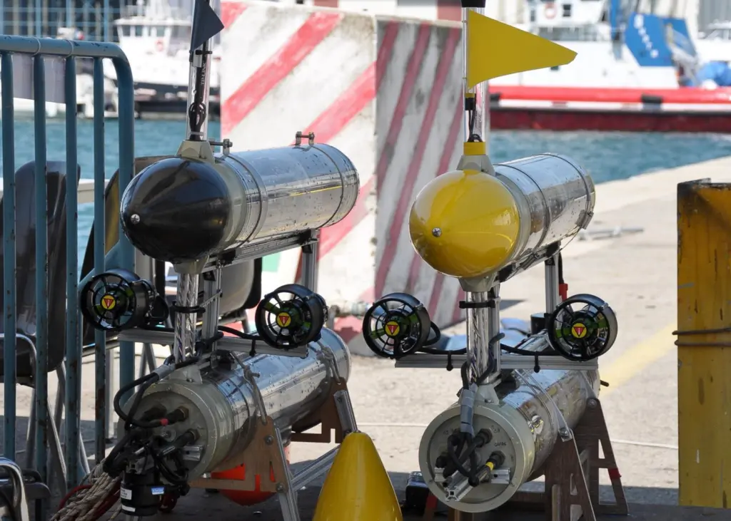
A new robotic concept has been found to improve the efficiency and accuracy of underwater mapping methods.
High accuracy 3D topology mapping and high definition video imaging is achieved through marine robots consisting of a number of separate mobile robotic modules and sensors. These are connected virtually via wireless communication links and share data acquired with dedicated sensors.
Jörg Kalwa, Senior Expert UUV Systems,Atlas Hydrographic, told Maritime Journal:“The MORPH system will allow for seabed mapping of rough terrain which has not been possible up to date. The technology can also be exploited for windfarm inspection, pipeline inspection, oil production monitoring, and harbour inspection.”
The robots are part of a four-year research programme, MORPH (Marine Robotic System of Self-Organising, Logically Linked Physical Nodes) launched in February 2012.
MORPH is funded by the European Commission with a budget of €8.5m. Partners involved include the Jacobs University Bremen, NATO Centre of Maritime Research and Experimentation, Ilmenau University of Technology and Ifremer (French Research Institute for Exploitation of the Sea).
Some of the robots involved in MORPH are already on the market, used by the Spanish University of Girona, Atlas Elektronik and Portugal’s Instituto Superior.
The project will end with a series of sea trials in 2015.
Related Articles
 OTHER NEWS
 ACCESSORIES & EQUIPMENT
 ACCESSORIES & EQUIPMENT