![MaritimeJournal[Seawork]](https://www.maritimejournal.com/wp-content/uploads/2026/09/MaritimeJournalSeawork.svg)





Filling the hydrographic data gap
A crowd sourcing project to create better nautical charts has won support and endorsement from the European Space Agency (ESA) and the European Satellite Navigation Competition (ESNC).
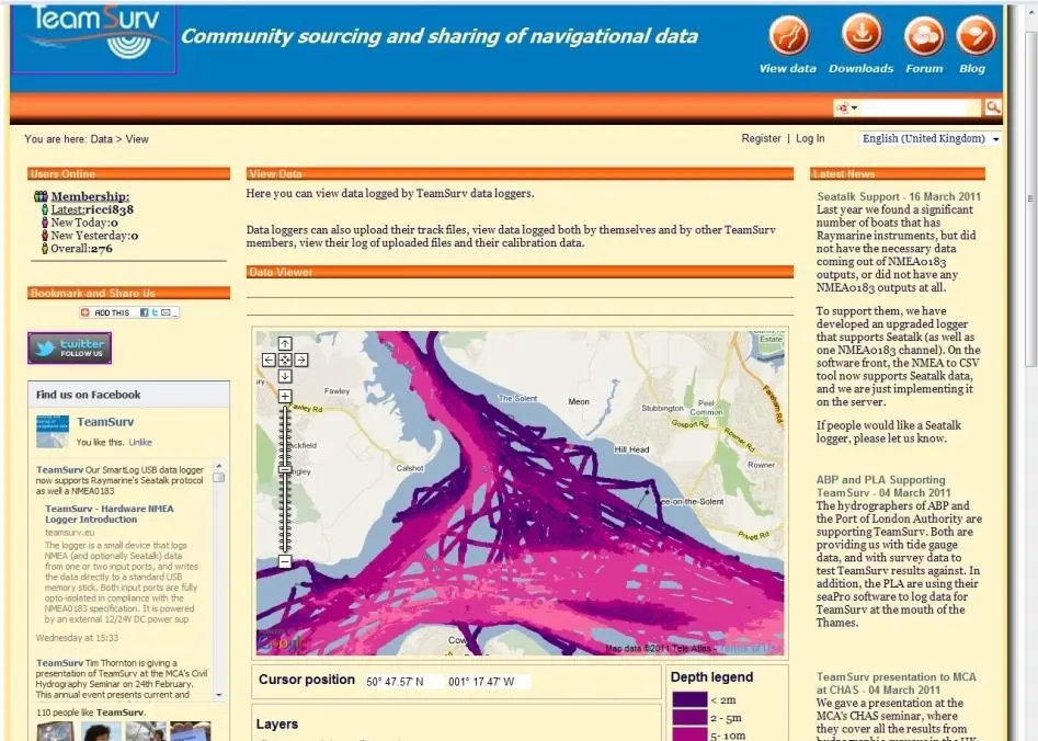
TeamSurv’s project aims to help develop accurate depth data to enable safe navigation and planning and managing in ports and harbours.
The United Kingdom Hydrographic Office (UKHO) says that 50% of the UK’s coastal waters are inadequately surveyed. In a bid to help “fill the data gap”, the ESA has awarded TeamSurv access to its Business Incubation Centre (BIC) at Harwell, Oxford.
This will provide financial and business and technical support for the project for the next year to enable a plan for a sustainable future to be developed.
New resources will be used to upgrade the project’s servers, recruit more participating vessels (commercial shipping and fishing fleets are now joining the project as well as leisure craft) and provide data to a wider range of users.
Crowd sourcing was initially dismissed by the hydrographic community in 2009, but it has now been recognised by many as a really effective way of improving the quality of data available.
TeamSurv has also come second in the UK arm of the ESNC challenge, a competition aimed at simulating new innovations in satellite navigation for use in technologies like smart phone apps and location-based services.
More information from www.teamsurv.eu
Related Articles
 OTHER NEWS
 ACCESSORIES & EQUIPMENT
 ACCESSORIES & EQUIPMENT