

GeoSwath doubled for shallow water surveys
Two GeoSwath wide swathe bathymetric sonars are being used for regular hydrographic port surveys around the South Australian coast, providing bathymetry and side scan data for use in the development and maintenance of this important national infrastructure.
Recent projects include the pre, progress, and post-dredge monitoring of the major shipping channels to Port Adelaide and Port Giles which were deepened to accommodate Panamax vessels.
HydroSurvey Australia is the hydrographic survey business arm of Flinders Ports, with the core task of performing recurrent surveys of navigational channels and berths for design and maintenance purposes.
As well as using the GeoSwath data for planning future port developments, this survey programme is an integral part of Flinders Ports’ risk mitigation strategy. HydroSurvey now carries out regular navigational hydrographic work at all the main shipping ports and minor boat havens in South Australia, over 100km of channels and 50 berths.
As a core part of their expanding range of survey equipment HydroSurvey has taken delivery of a second GeoSwath interferometric sonar from GeoAcoustics Ltd (Great Yarmouth, UK), a Kongsberg Maritime Company. The wide swath width demonstrated by their first GeoSwath (delivered in 2000 and upgraded in 2004) allowed unprecedented rapid survey coverage in shallow waters, resulting in significant productivity gains and achieving total insonification over large areas, with sounding data exceeding IHO S44 special order survey standard for depth accuracy.
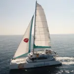
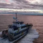
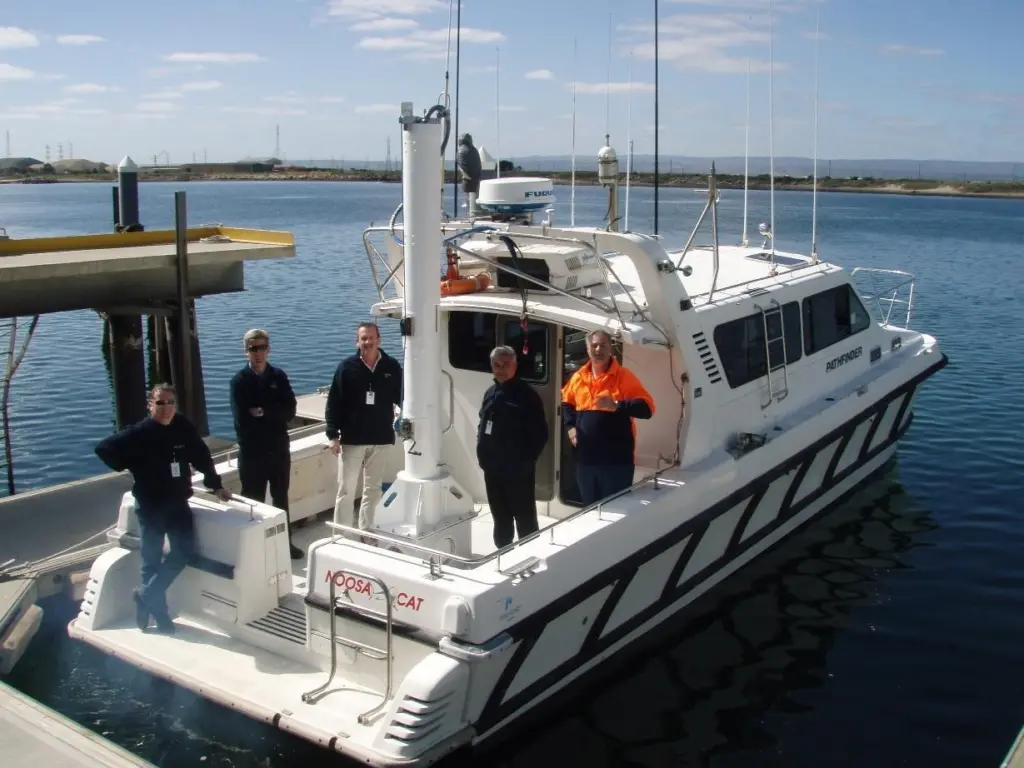
The two GeoSwath systems are mounted on HydroSurvey’s NoosaCat twin-hulled survey launches. The Pathfinder is an 11m NoosaCat 3900-Series with a 250kHz GeoSwath head deployed on a central ‘periscope’ mount between the hulls. The Felix is a trailerable 5m NoosaCat 1800-Series with a mounting plate for a customised 250kHz GeoSwath transducer arm fixed to the port side gunwale.
In addition to their core survey functions, HydroSurvey Australia undertakes contract hydrographic and bathymetric surveys for various projects including the design and construction of commercial ports and marinas, locating shoals and reefs, and to measure coastal sand migration.
The GeoSawth Sonar’s shallow water capabilities also make it ideal for river and lake surveys. HydroSurvey were commissioned to survey Lake Burragorang (behind Warragamba Dam), 60km west of Sydney. With a storage volume of 2m megalitres, this is one of the largest domestic water supply dams in the world, supplying approximately 80% of the water delivered to Sydney. Sydney Catchment Authority required a bathymetric survey to measure the volume of sedimentation post-construction and to form a baseline for future surveys. The Felix performed the GeoSwath survey in a single field operation providing total bottom coverage of the lakebed to the existing water level.