![MaritimeJournal[Seawork]](https://www.maritimejournal.com/wp-content/uploads/2026/09/MaritimeJournalSeawork.svg)


Sea-Kit USV embarks to map Tonga volcano
The recent Tongan volcanic eruption will be investigated by UK uncrewed surface vessel Maxlimer.
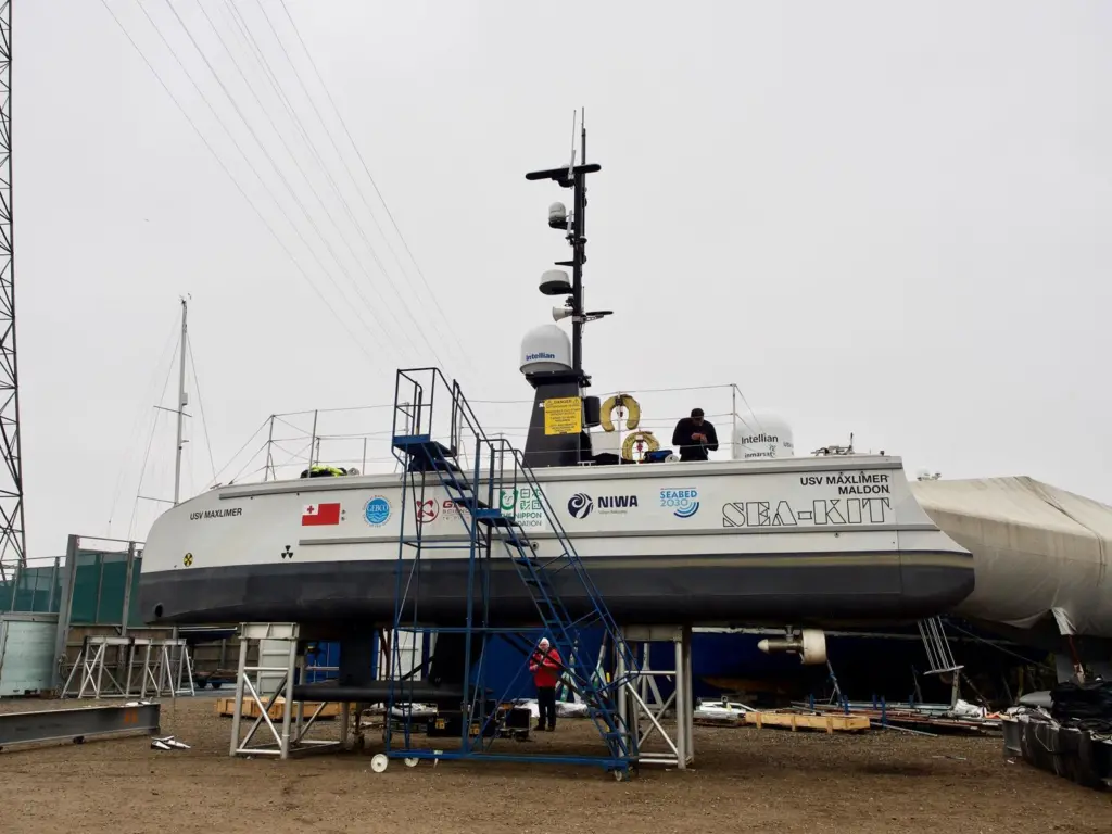
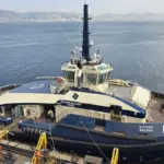
An uncrewed surface vessel (USV) is about to leave for Tonga, where it will embark on a voyage to the caldera of the Hunga Tonga-Hunga Ha’apai (HT-HH) undersea volcano that erupted on January 15.
From the surface of the Pacific Ocean, the UK firm Sea-Kit International’s USV Maxlimer will collect data from inside the volcano mouth – the caldera – where it will remain for about a month.
The data collection is part of a project by the Nippon Foundation and NIWA (New Zealand’s National Institute of Water and Atmospheric Research) to look at the undersea impacts of the Tongan eruption.
The HT-HH eruption was considered remarkable because of the height of its plume, whose umbrella clouds reached 31km, according to the ESSOAr, the Earth and Space Science Open Archive.
The volcano erupted over a couple of weeks, with the final explosion on January 15 obliterating the island.
Now NIWA scientists are sailing to Tonga to survey thousands of square kilometres of the seabed around the area, collecting video images of the impact using NIWA’s research vessel Tangaroa and Maxlimer.
The ’Tonga Eruption Seabed Mapping Project’, or TESMaP, is funded by the Nippon Foundation, which has been enabling oceanic projects since 1962.
It is currently leading a Seabed 2030 project, which intends to map the world’s entire seabed by 2030.
Project leader and NIWA Chief Scientist Oceans Mike Williams said he expected extensive changes to the underwater landscape in the area.
“Before the eruption, much of the volcano was above water but now none of it is and the neighbouring islands of Hunga Tonga and Hunga Ha’apai were reduced in size,” he said. ”We expect similarly dramatic changes to have occurred in the underwater topography.
“Submarine cable breakages show impacts up to 50 kilometres from the volcano caldera, implying changes to the seabed over an area of at least 8,000 square kilometres. This survey will investigate the impacts of the eruption in the water column and on the seabed around HT–HH.”
Acoustic data will be gathered using echosounders to determine the shape and structure of the underwater landscape, including the thickness of ash deposits and the formation of any new bedforms.
This data will then be compared with previous maps to identify areas for sampling, so that further changes to the area, such as impacts to marine life and the seafloor’s chemical composition, can be assessed.