



New Irish survey vessel named
Ireland’ s latest research vessel for inshore mapping, RV Keary, was formally named in early October during the Seabed 10 international conference in Dublin, jointly hosted by the Geological Survey of Ireland (GSI) and the Marine Institute in Galway.
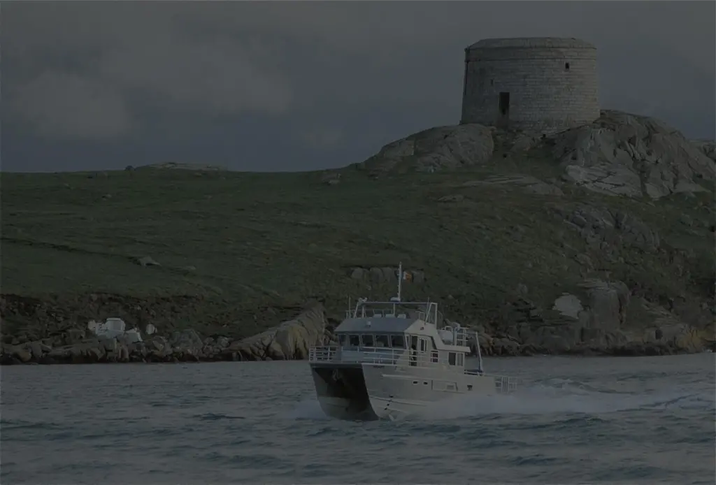
Built by Veecraft Marine in Cape Town under contract to Galway based Imar Survey, the 15m aluminium catamaran features a central pod housing multibeam and single beam echosounders, a Chirp sub-bottom profiler and an ultra-short baseline underwater positioning system together with ancillary survey equipment. Survey data is stored onboard in a 15 terrabyte computer after processing by dedicated acquisition systems.
Sean Cullen of the GSI said that housing all survey equipment in one podded location allows for quicker deployment and retraction for general maintenance and preservation, adding that RV Keary’s multihull design also provides greater stability and flexibility during survey operations.
With a top speed of 24 knots, the vessel’s first mission is to map Dublin Bay before progressing around the entire Irish coastline. Its work forms part of the government backed Integrated Mapping for the Sustainable Development of Ireland’s Marine Resources (INFOMAR) project covering over 650,000 sq/km of marine territory, more than ten times the country’s land mass.