![MaritimeJournal[Seawork]](https://www.maritimejournal.com/wp-content/uploads/2026/09/MaritimeJournalSeawork.svg)






Renewables focus attention on nearshore seabed
Aspect Surveys Ltd of Irvine in Scotland has added an Inshore Boomer System to its equipment pool to survey the sub-seabed layers.
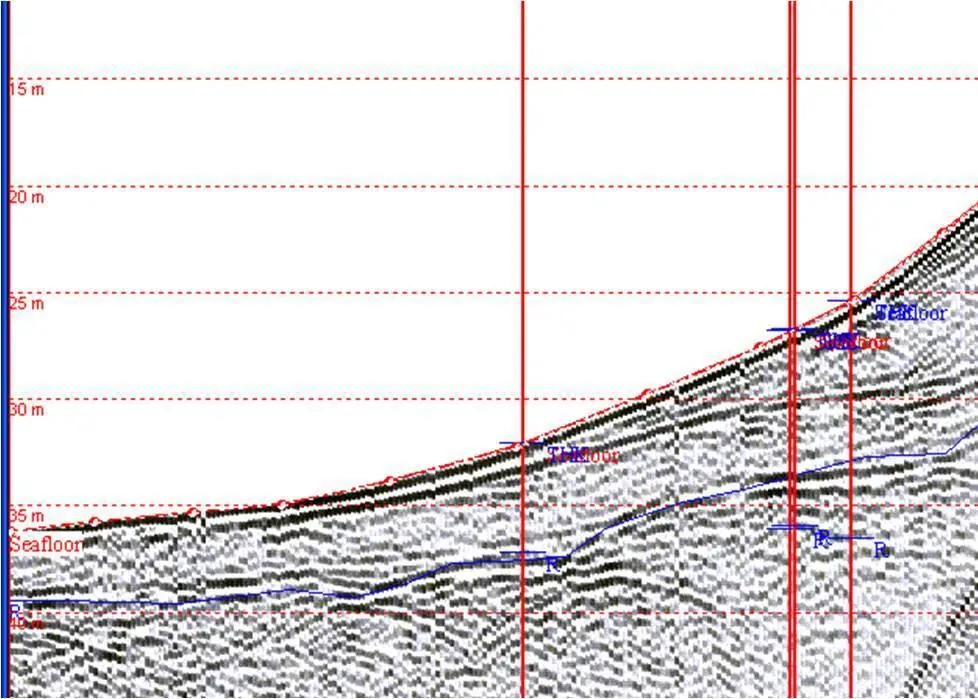
The burgeoning development in offshore renewable energy sources, with their associated construction works and cabling to shore, has focused attention on the near-shore, estuarine and inshore environments that require extensive geophysical site investigation in advance of construction.
Over an initial trial period Aspect’s surveys included a variety of sub seabed morphologies such as compacted sand over coal measures, estuarine fine sediments and hard compacted glacial deposits with overlying unconsolidated sediment. These are typical of many areas of Northern Europe where the seabed sediments are varied, often including riverine, estuarine and glacial deposits over rock.
The Inshore Boomer System selected by Aspect was designed as a small boat system by Applied Acoustic Engineering Ltd, based in Great Yarmouth UK. The technology employed consists of a seismic energy source that produces an acoustic pulse through the water column into the seabed layers. This technique builds a 2D profile, a continuous cross-sectional image, when sub-bottom layers with different acoustic impedances are reflected back.
The Applied Acoustics’ system comprises a small towed catamaran complete with the AA201 boomer plate, the CSP-L energy source, and a single channel hydrophone streamer towed behind the survey vessel. The energy source can be supplied as a 100 Joule or 50 Joule variant.
Aspect’s boomer system is now regularly used in coastal engineering developments where the complications include the extremes of shallow water and often dense sediments.
Hydrographic survey manager Colin Thomson explained, “We have been contracted to undertake marine surveys in very challenging environments where the seabed shoals rapidly. It is not unusual for the depth to shoal from 35m to sub 10m in the space of a 100m long line. Adding to this difficulty are the frequently heavy overlying gravel or glacial till deposits in these areas. The 100Joule CSP- L manages admirably in these conditions and the profiles obtained from the compact energy source, provide our clients with high resolution results in this shallow water.”


