![MaritimeJournal[Seawork]](https://www.maritimejournal.com/wp-content/uploads/2026/09/MaritimeJournalSeawork.svg)






Rijkswaterstaat enhances shallow water survey
Great Yarmouth UK based GeoAcoustics Ltd has delivered four GeoSwath systems to the Netherlands Rijkswaterstaat (RWS), the arm of the Dutch Ministry of Transportation and Water Management whose responsibilities include the construction and maintenance of waterways and flood prevention.
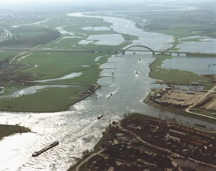
RWS chose the GeoSwath interferometric multibeam due to its ability to provide very wide swath bathymetry and side scan from small survey vessels. It is particularly suitable for the shallow rivers, canals and seas in Holland.All the GeoSwath installations on RWS vessels are configured with the QINSy real time interface (from QPS BV, Zeist, The Netherlands) and are set up to provide highly accurate bathymetric mapping data along with co-registered side scan images. A requirement during system tests was that the survey results accurately matched previously acquired survey data to within 7cm. The trials demonstrated the GeoSwath data accuracy and repeatability.
At the end of last month, three RWS vessels were operational with GeoSwath Sonars. The S/V Speurder is being used in the southeast corner of Holland to monitor the Maas river and local canals. The S/V Siege is deployed mainly in the Waddenzee, the shallow sea in the North of Holland. Its prime purpose is to survey and monitor the ferry shipping channel from the mainland to the islands, with an additional task of carrying out hydrographic surveys for various ports in the region. Lastly, the S/V Markermeer is located in the Ijsselmeer and is tasked with monitoring the channels that provide access from the Rhine, Waal and Maas rivers. A fourth vessel will join the Seige in the Waddenzee this summer.
The GeoSwath can rapidly be moved to a vessel of opportunity if required. In January the Spreuder’s GeoSwath was deployed on a small shallow draft vessel to survey the Maas river when water levels were high due to melt water from the Alps.


