![MaritimeJournal[Seawork]](https://www.maritimejournal.com/wp-content/uploads/2026/09/MaritimeJournalSeawork.svg)






Satellite based bathymetric mapping in Ireland
Proteus, a provider of satellite derived bathymetric mapping and seabed classification services, has been awarded a major contract by the Geological Survey of Ireland (GSI) to deliver complete bathymetric surveys of five Irish bays.
In addition to operational mapping, Abu Dhabi and Bristol, UK based Proteus will use satellite data to create a seabed classification map and perform water quality monitoring on one of the bays for proof of concept purposes.
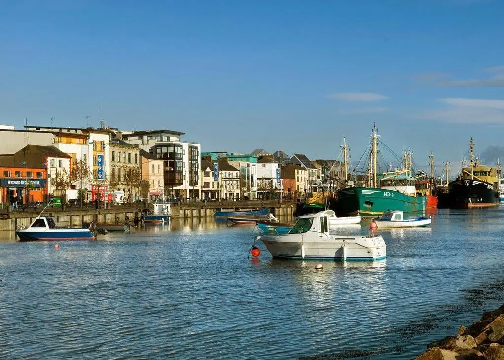
GSI issued a competitive request for proposals following a successful 2012 pilot in which Proteus demonstrated the effectiveness of a commercial satellite based bathymetry process in Ireland’s Wexford Harbour. Developed by EOMAP GmbH and commercialized by Proteus, the technique extracted seafloor elevation measurements to depths in excess of 20m with vertical accuracies better than 10% of water depth, using no ground truthing. GSI validated the pilot’s results with a multi-beam echosounding survey.
“The pilot project proved that our satellite derived process can accurately extract bathymetric data from inland bays of the turbid North Atlantic as readily as it does from the clear Red Sea and Caribbean,” said David Critchley, Proteus CEO.
The five bays included in the operational contract are among Ireland’s most commercially valuable and environmentally important: Cork, Shannon, Dingle, Dundalk and Carlingford. They include turbulent bays fed by fast flowing rivers that frequently shift submerged sandbars and significant areas of shallows. As a result, bathymetric surveying can be particularly challenging and expensive using marine sonar or airborne LiDAR. To date, airborne bathymetric LiDAR has failed to achieve coverage in these particular bays.
Proteus works with EOMAP to commercialize satellite derived bathymetric and seafloor classification processes developed and owned by EOMAP GmbH of Munich, Germany. The process extracts seafloor information from high resolution, 8-band multispectral imagery collected by DigitalGlobe Inc’s WorldView-2 satellite and acquired by Proteus through its direct relationship with DigitalGlobe. Derived products have high accuracy, meeting the requirements of engineering, environmental monitoring and strategic geospatial planning applications.
“Compared with maritime sonar and airborne LiDAR, satellite derived bathymetric surveys are completed at a fraction of the time and cost, said Critchley. “The ecological constraints, submerged reefs, and political issues that hamper traditional hydrographic mapping methods are of no hindrance to us.”
In addition to generating the bathymetric maps for the five Irish bays, Proteus will also deliver a seabed habitat map for one of the bays, also derived from the DigitalGlobe imagery. In Dingle Bay, Proteus will perform water quality monitoring on a demonstration basis. Using a new process applied to NASA MODIS and US Landsat image data, the firm will measure suspended sediments, chlorophyll and other organic matter in the water.


