![MaritimeJournal[Seawork]](https://www.maritimejournal.com/wp-content/uploads/2026/09/MaritimeJournalSeawork.svg)






Seamless bathymetric data for UK waters
SeaZone Solutions, the subsidiary of HR Wallingford specialising in supplying marine geographic information to over 850 organisations, has launched a new range of TruDepth survey bathymetry products covering UK waters.
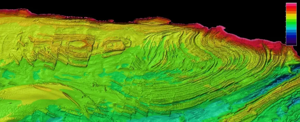
Designed for a wide range of activities and applications, the range provides digital terrain models (DTMs) based on the best available surveys held in a database which includes around 20,000 survey blocks, 500 of which have been scanned, geo-referenced and digitised from UK Hydrographic Office archive fairsheets. To date, Seazone says it has generated some 200 TruDepth grids around UK coastal waters and plans to provide complete national coverage by the middle of this year.
Data has been authoritatively sourced through the UKHO and captured under the Civil Hydrography Programme as well as by various ports, harbours and other parties. Grids, available in half degree tiles, have already been used by a number of key organisations including government, universities, research institutions and consultants. Data can be used in most GIS software and as input into modelling programs for marine spatial planning, site selection activities, habitat map creation, volumetric calculations, capacity planning and general bathymetry background mapping.


