![MaritimeJournal[Seawork]](https://www.maritimejournal.com/wp-content/uploads/2026/09/MaritimeJournalSeawork.svg)






Acoustic imaging reveals details of lost town
MacArtney Underwater Technology, headquartered in Denmark, has employed new underwater acoustic technology to help archaeologists examine the sunken medieval town of Dunwich, off the coast of Suffolk in the UK.
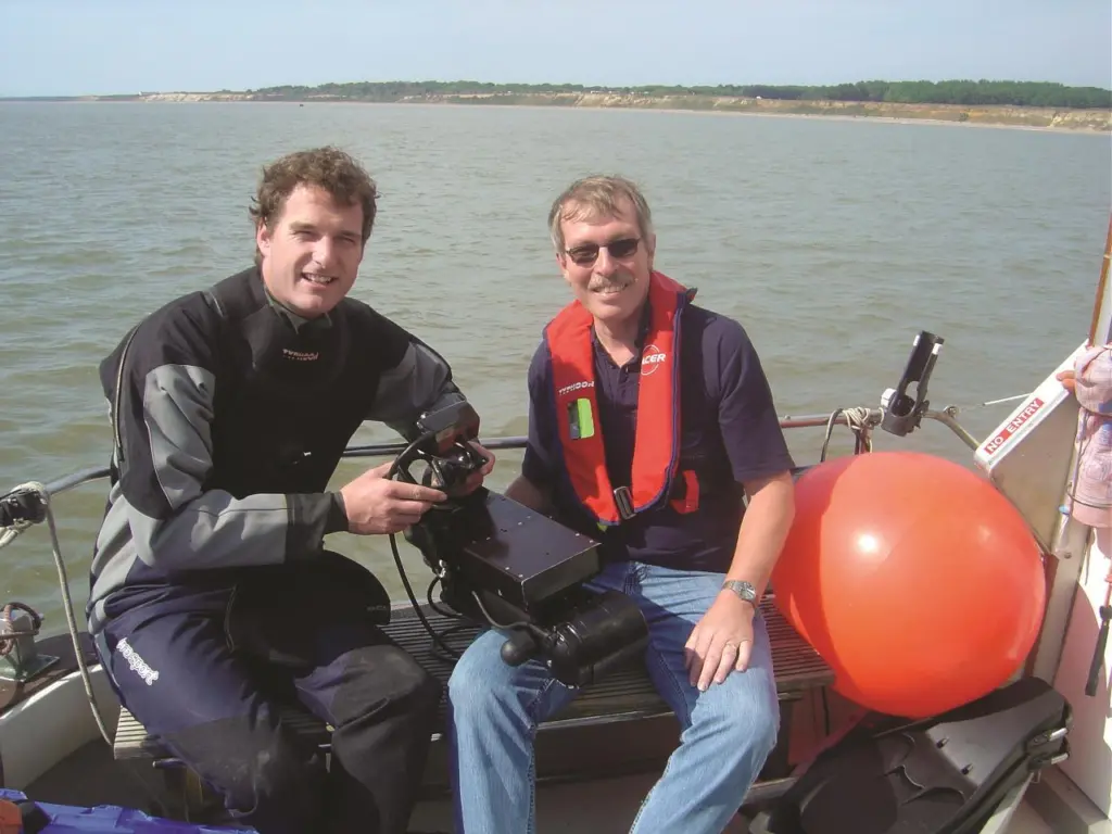
Dunwich was once the ancient capital of East Anglia and was long since abandoned to the encroaching sea. Despite many diver and sonar surveys, the extent and detail of the site have remained sketchy as poor visibility hampers its study. Conventional optical systems generate blank screens in such conditions and the archaeologists have turned to sonar imaging as an alternative.
The team from MacArtney Underwater Technology, working with the BBC, employed acoustic imaging technology to examine the Dunwich site. Marine Archaeology Professor David Sear of the University of Southampton’s School of Geography teamed up with fellow divers and enlisted the help of sonar imaging expert Mike Sawkins from the MacArtney Underwater Technology Group. They deployed a special sonar camera, the diver held DIDSON at the site.
During the survey, each diver clipped onto a shot line which had been previously positioned over the ruins using GPS navigation and side scan sonar data. The divers could then undertake circular sweeps of the sea bed around the shot line, gradually increasing their radius of survey. A set of data was taken hanging over the ruins at a distance of between 8m to 15m and the second set for close up visualisation at 1m to 5m within the ruins.
The combination of high frequencies, acoustic lenses and very narrow beams increased the image detail and gave archaeologists greater detail of the site than before.
‘The DIDSON diver held system enabled us to see for the first time the worked and rubble masonry on the seabed from the ruins of St Katherines Chapel and St Nicholas Church, lost to the sea in circa 1550 and 1480 respectively, explained Professor Sear. ‘This ability starts to open up the options for marine archaeology in nearshore shallow turbid waters around coasts’.
This field trial, which was the first ever use of the DIDSON imaging system for non-wreck marine archaeology, could change the way archaeologists examine offshore sites where visibility is low, especially where the coastline is silted by rivers or eroded away by the sea.
Related Articles
 OTHER NEWS
 MARINE CIVILS
 MARINE CIVILS