

The Port of Rotterdam has taken a major step in vessel navigation and vessel safety with a pioneering digital connection to enhance navigational safety, voyage planning and port calls.
Through a collaboration between the Port of Rotterdam Authority and the Royal Netherlands Navy Hydrographic Service, highly accurate digital nautical charts now include precise terminal and berth information.
This ensures that captains, shippers and service providers can rely on standardised, validated data across the maritime chain. A solution which the port calls ”highly scalable and globally applicable”.
Real-time updates
Previously, berth and terminal information was tied to facility names, which could change ownership and cause uncertainty. Now, unique Global Location Numbers (GLNs) are assigned to each berth and terminal.
These GLNs are integrated into the Harbour Master Management System (HaMIS) and Portbase, enabling real-time updates and direct system integration via API.
This ‘single point of truth’ allows shippers and captains to align voyage planning with reliable data while ensuring safer mooring and port operations.
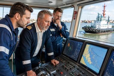
Critically, the data is also shared with the Hydrographic Service, which publishes official Electronic Navigational Charts (ENCs) for use in ECDIS (Electronic Chart Display and Information System).
This guarantees international compliance with IMO navigation standards and strengthens vessel safety during port entry and departure.
Looking ahead, the port authority aims to add depth and restriction data for terminals and berths, providing a near-complete dataset for assessing vessel-port compatibility. The initiative sets a global benchmark for smarter, safer port calling.
The Port of Rotterdam Authority is calling on other port authorities to share their location data with their national hydrographic services in the same standardised manner.